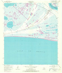
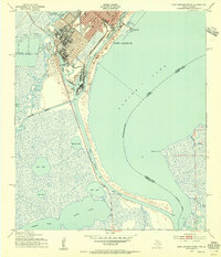
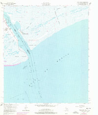
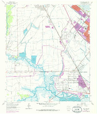
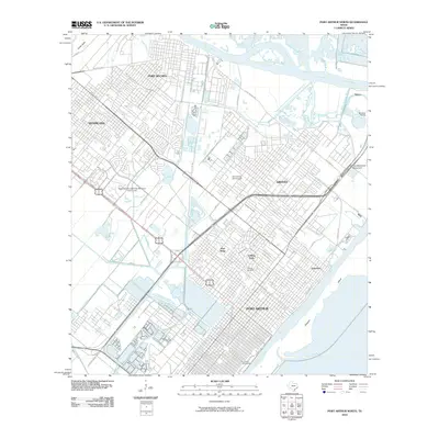
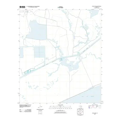
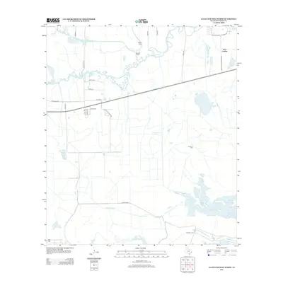
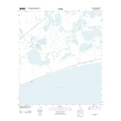
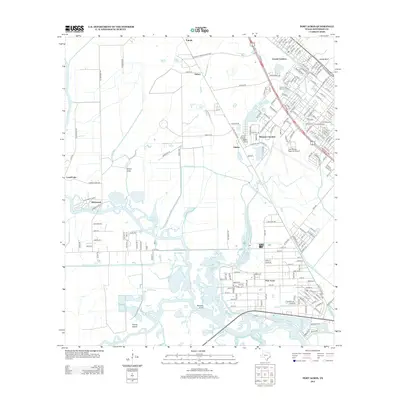
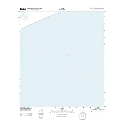
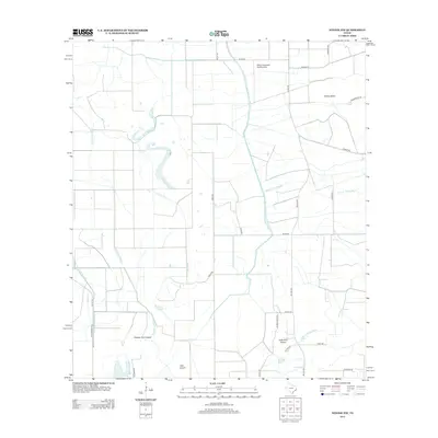
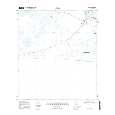
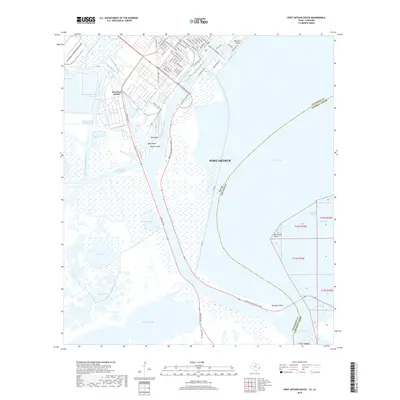
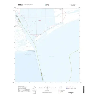
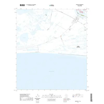
1957 Map of Sabine Pass
USGS Topo · Published 1971About this map
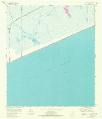
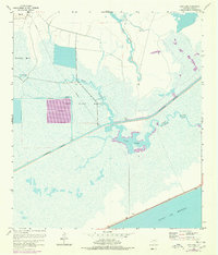
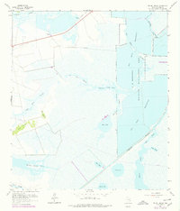
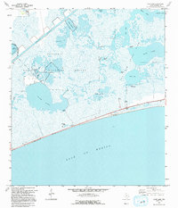
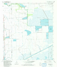
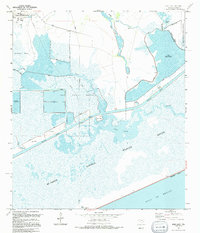
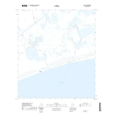
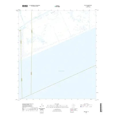
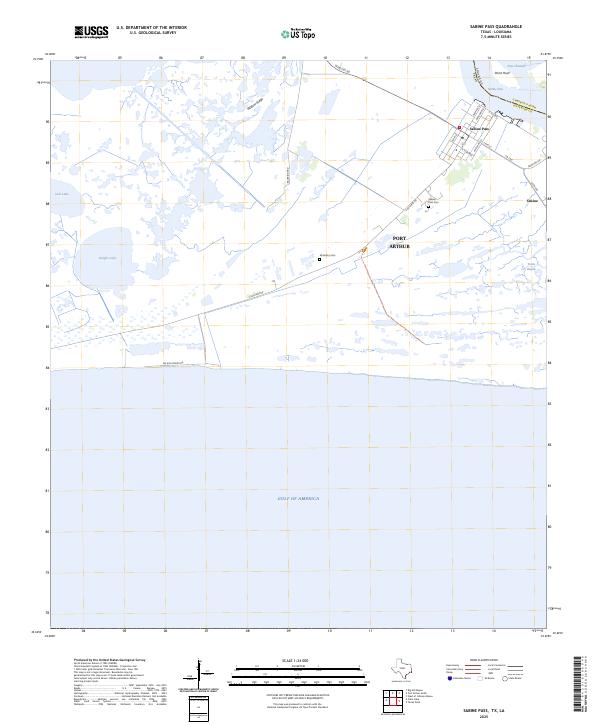
Sabine Pass serves as the focal point of this coastal survey, situated where the Sabine Pass Channel meets the Gulf of Mexico. The landscape is dominated by an intricate network of marshes and brackish water bodies, including Keith Lake, Salt Lake, and Knight Lake. An Old Railroad Grade and Wildcat Ridge provide the few lines of higher elevation through the wetlands, reflecting the historical infrastructure required to navigate this low-lying territory along the Louisiana Sabine Approximate Bdy.
Find a feature on this map
21 named features on this map. Tap any name to fly to it.
Don’t see what you’re looking for? This feature index may not catch every label — zoom into the map to look around manually.
Map Details
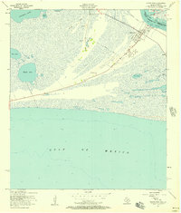
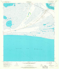
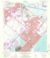
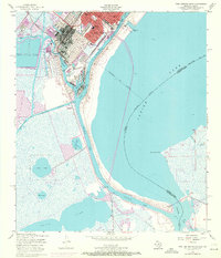
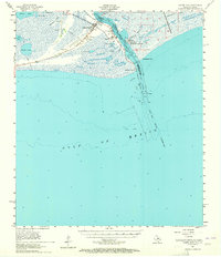
Editions of this 1957 Sabine Pass Map
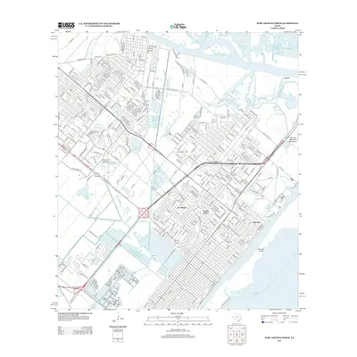
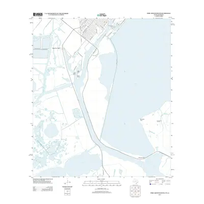
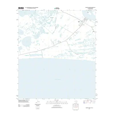
Historical Maps of Port Arthur Through Time
134 maps found

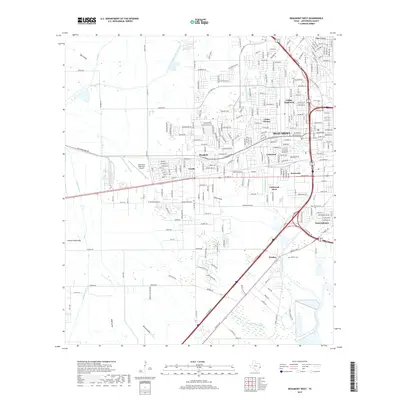
1943 Beaumont East
Jefferson County, TX
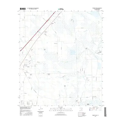
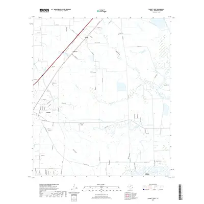
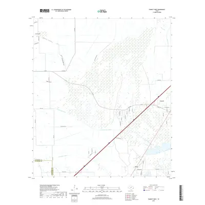
1943 Fannett East
Jefferson County, TX

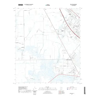
1943 Port Arthur North
Jefferson County, TX
1943 Port Arthur South
Jefferson County, TX

1944 Sabine Pass
Jefferson County, TX

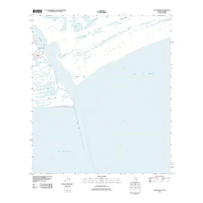
1944 Texas Point
Jefferson County, TX

1945 Fannett East
Jefferson County, TX

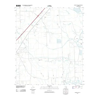
1945 Nolte
Jefferson County, TX
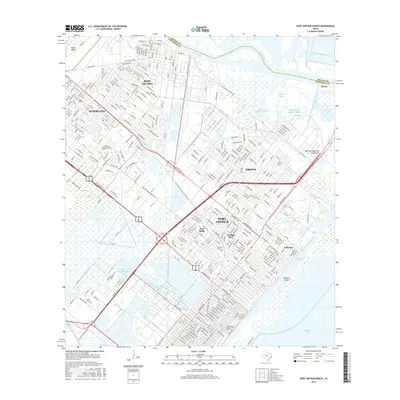
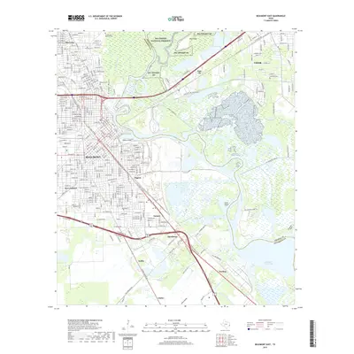
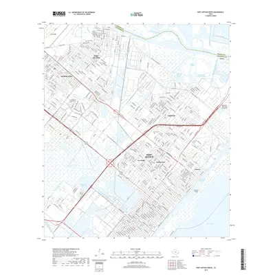
1957 Port Arthur North
Jefferson County, TX
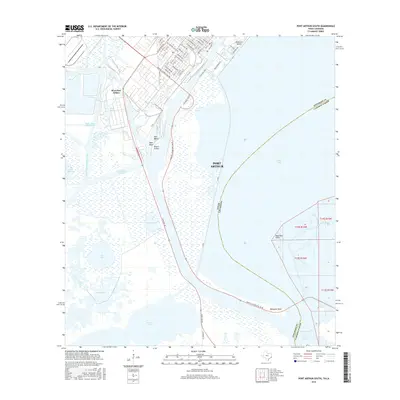
1957 Port Arthur South
Jefferson County, TX
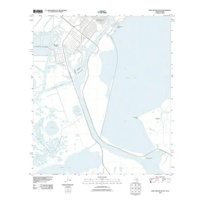
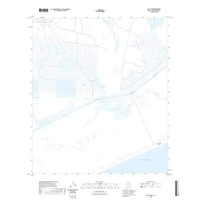
1957 Sabine Pass
Jefferson County, TX
1957 Sabine Pass
Jefferson County, TX
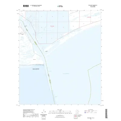
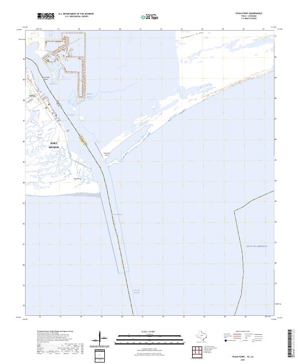
1957 Texas Point
Jefferson County, TX
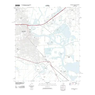
1960 Beaumont East
Jefferson County, TX
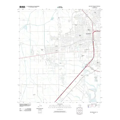
1960 Beaumont West
Jefferson County, TX
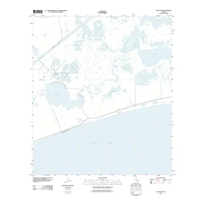
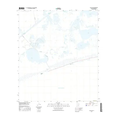
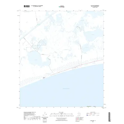
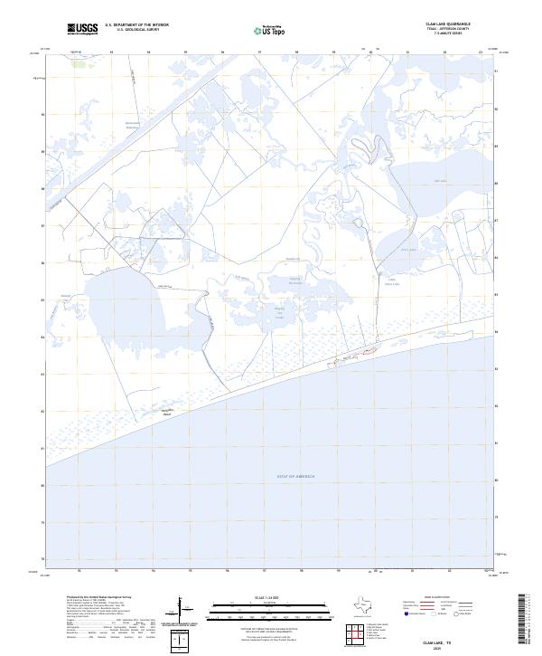
1961 Clam Lake
Jefferson County, TX
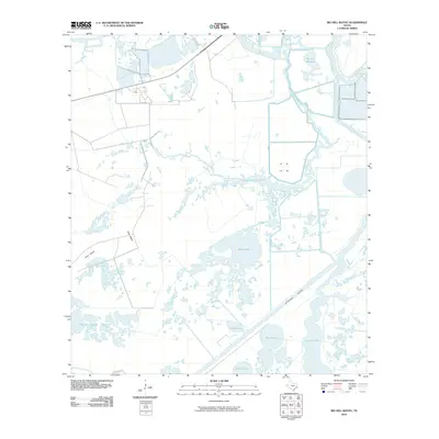
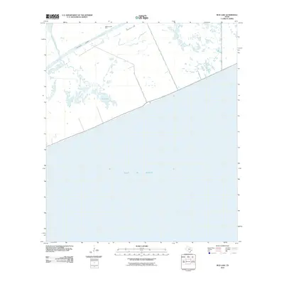
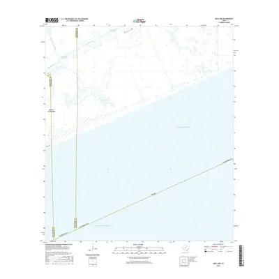
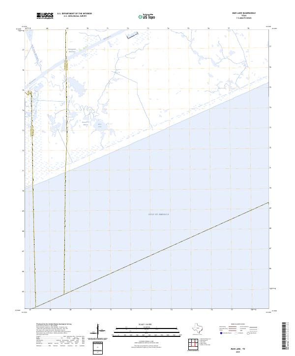
1961 Mud Lake
Jefferson County, TX
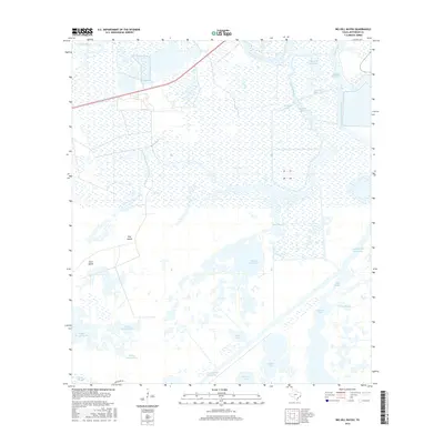
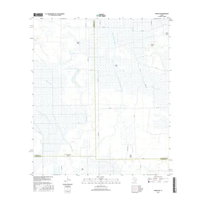
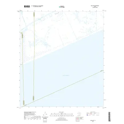
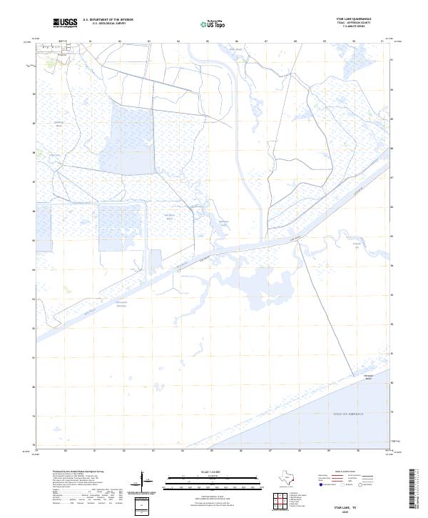
1961 Star Lake
Jefferson County, TX

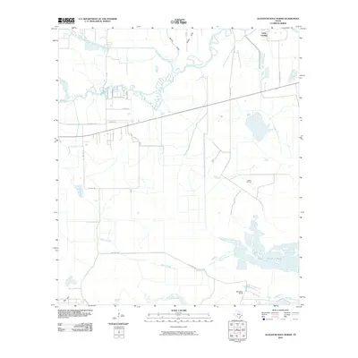
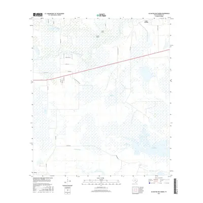
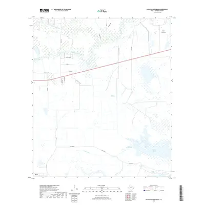
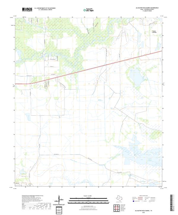
1962 Alligator Hole Marsh
Jefferson County, TX
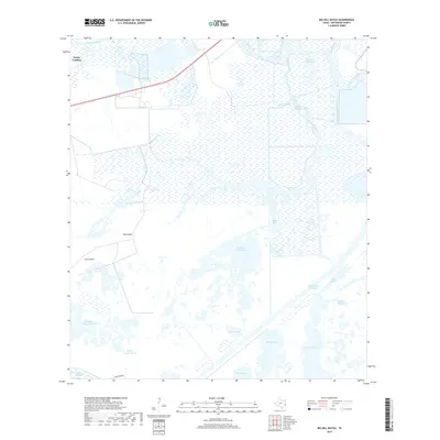
1962 Big Hill Bayou
Jefferson County, TX

1962 Fannett East
Jefferson County, TX
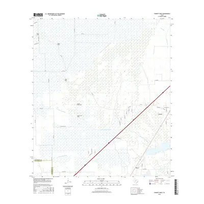
1962 Fannett West
Jefferson County, TX
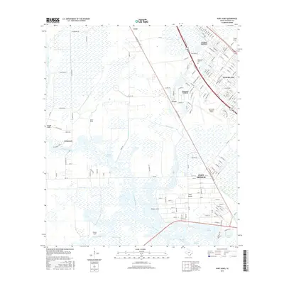
1962 Port Acres
Jefferson County, TX
1962 South of Star Lake
Jefferson County, TX
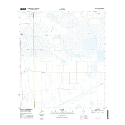
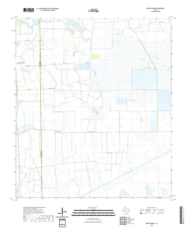
1962 Whites Ranch
Jefferson County, TX
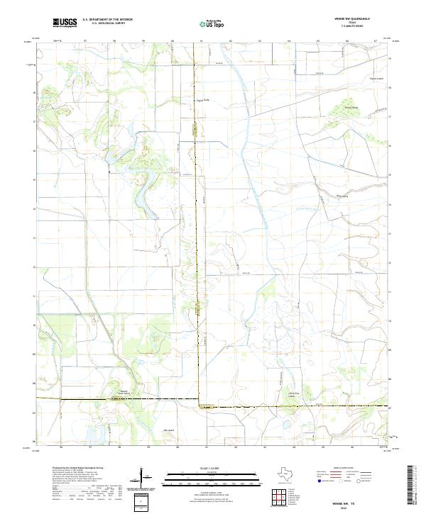
1962 Winnie NW
Jefferson County, TX

1993 Alligator Hole Marsh
Jefferson County, TX

1993 Big Hill Bayou
Jefferson County, TX
1993 Clam Lake
Jefferson County, TX

1993 Fannett West
Jefferson County, TX

1993 Port Acres
Jefferson County, TX

1993 Port Arthur North
Jefferson County, TX

1993 Port Arthur South
Jefferson County, TX

1993 Sabine Pass
Jefferson County, TX

1993 Texas Point
Jefferson County, TX
1993 Whites Ranch
Jefferson County, TX

1994 Beaumont East
Jefferson County, TX

1994 Beaumont West
Jefferson County, TX

1994 Fannett East
Jefferson County, TX

1994 Mud Lake
Jefferson County, TX
1994 South of Star Lake
Jefferson County, TX
1994 Star Lake
Jefferson County, TX

1994 Winnie NW
Jefferson County, TX
2010 Alligator Hole Marsh
Jefferson County, TX
2010 Beaumont East
Jefferson County, TX
2010 Beaumont West
Jefferson County, TX
2010 Big Hill Bayou
Jefferson County, TX
2010 Clam Lake
Jefferson County, TX
2010 Fannett East
Jefferson County, TX
2010 Fannett West
Jefferson County, TX
2010 Mud Lake
Jefferson County, TX

2010 Port Acres
Jefferson County, TX
2010 Port Arthur North
Jefferson County, TX
2010 Port Arthur South
Jefferson County, TX
2010 Sabine Pass
Jefferson County, TX
2010 South of Star Lake
Jefferson County, TX
2010 Star Lake
Jefferson County, TX
2010 Texas Point
Jefferson County, TX
2010 Whites Ranch
Jefferson County, TX
2010 Winnie NW
Jefferson County, TX
2013 Alligator Hole Marsh
Jefferson County, TX
2013 Beaumont East
Jefferson County, TX
2013 Beaumont West
Jefferson County, TX
2013 Big Hill Bayou
Jefferson County, TX
2013 Clam Lake
Jefferson County, TX
2013 Fannett East
Jefferson County, TX
2013 Fannett West
Jefferson County, TX
2013 Mud Lake
Jefferson County, TX
2013 Port Acres
Jefferson County, TX
2013 Port Arthur North
Jefferson County, TX
2013 Port Arthur South
Jefferson County, TX
2013 Sabine Pass
Jefferson County, TX
2013 South of Star Lake
Jefferson County, TX
2013 Star Lake
Jefferson County, TX
2013 Texas Point
Jefferson County, TX
2013 Whites Ranch
Jefferson County, TX
2013 Winnie NW
Jefferson County, TX
2016 Alligator Hole Marsh
Jefferson County, TX
2016 Beaumont East
Jefferson County, TX
2016 Beaumont West
Jefferson County, TX
2016 Big Hill Bayou
Jefferson County, TX
2016 Clam Lake
Jefferson County, TX
2016 Fannett East
Jefferson County, TX
2016 Fannett West
Jefferson County, TX
2016 Mud Lake
Jefferson County, TX
2016 Port Acres
Jefferson County, TX
2016 Port Arthur North
Jefferson County, TX
2016 Port Arthur South
Jefferson County, TX
2016 Sabine Pass
Jefferson County, TX
2016 South of Star Lake
Jefferson County, TX
2016 Star Lake
Jefferson County, TX
2016 Texas Point
Jefferson County, TX
2016 Whites Ranch
Jefferson County, TX
2016 Winnie NW
Jefferson County, TX
2019 Alligator Hole Marsh
Jefferson County, TX
2019 Beaumont East
Jefferson County, TX
2019 Beaumont West
Jefferson County, TX
2019 Big Hill Bayou
Jefferson County, TX
2019 Clam Lake
Jefferson County, TX
2019 Fannett East
Jefferson County, TX
2019 Fannett West
Jefferson County, TX
2019 Mud Lake
Jefferson County, TX
2019 Port Acres
Jefferson County, TX
2019 Port Arthur North
Jefferson County, TX
2019 Port Arthur South
Jefferson County, TX
2019 Sabine Pass
Jefferson County, TX
2019 South of Star Lake
Jefferson County, TX
2019 Star Lake
Jefferson County, TX
2019 Texas Point
Jefferson County, TX
2019 Whites Ranch
Jefferson County, TX
2019 Winnie NW
Jefferson County, TX
2022 Alligator Hole Marsh
Jefferson County, TX
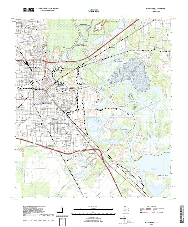
2022 Beaumont East
Jefferson County, TX
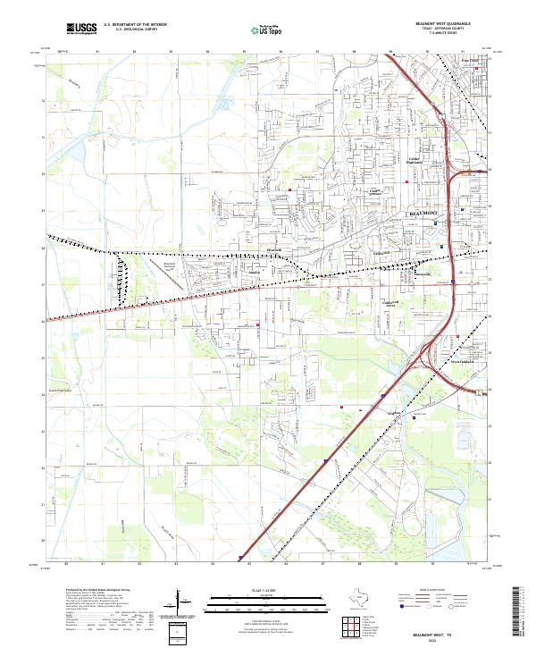
2022 Beaumont West
Jefferson County, TX
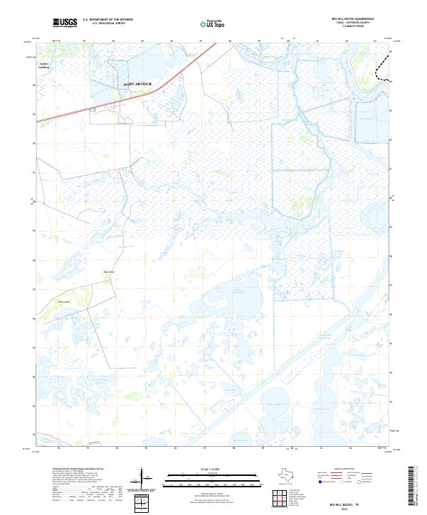
2022 Big Hill Bayou
Jefferson County, TX
2022 Clam Lake
Jefferson County, TX
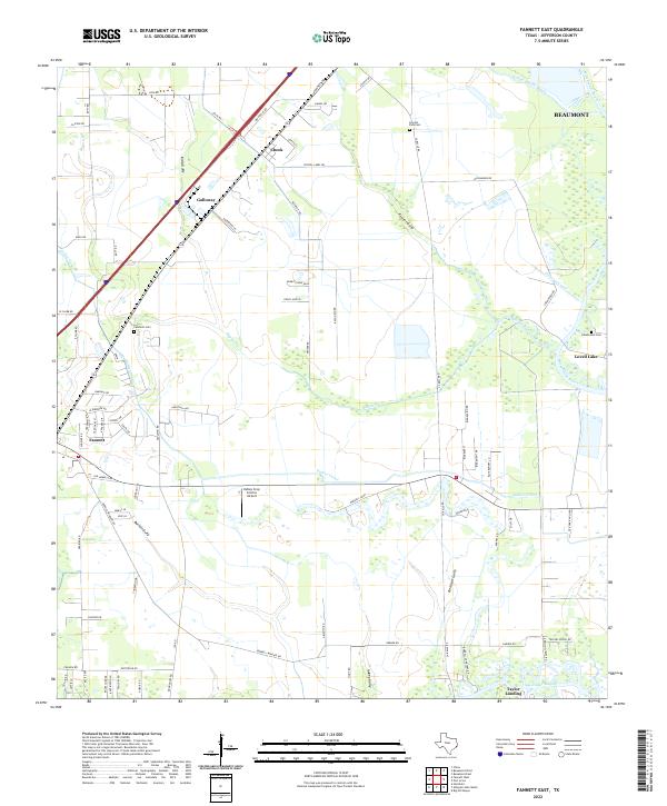
2022 Fannett East
Jefferson County, TX
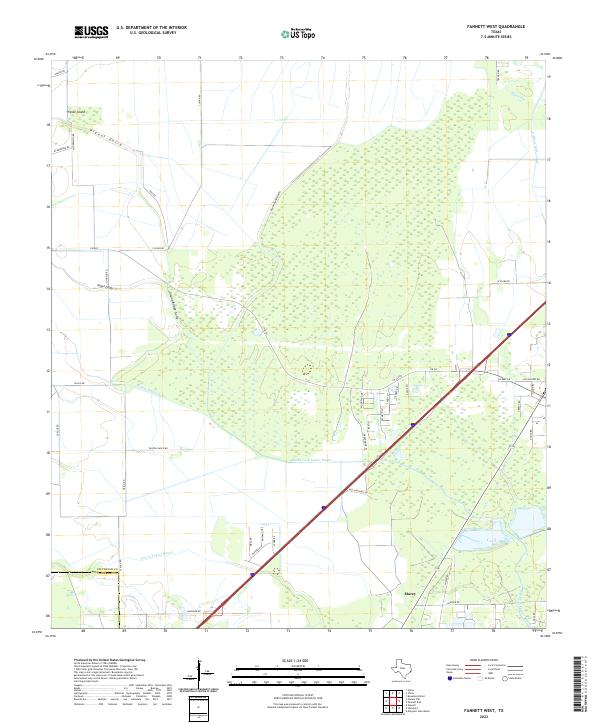
2022 Fannett West
Jefferson County, TX
2022 Mud Lake
Jefferson County, TX
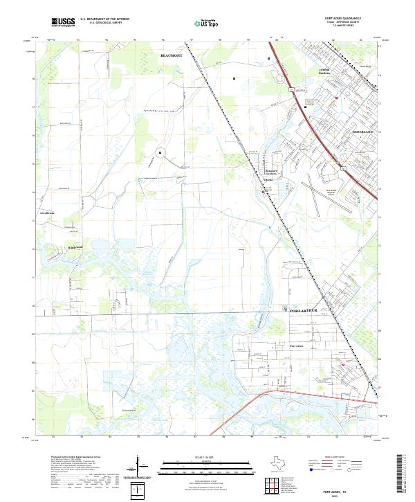
2022 Port Acres
Jefferson County, TX
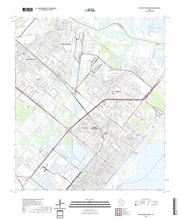
2022 Port Arthur North
Jefferson County, TX
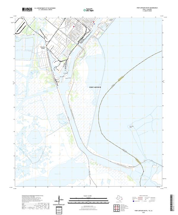
2022 Port Arthur South
Jefferson County, TX
2022 Sabine Pass
Jefferson County, TX
2022 South of Star Lake
Jefferson County, TX
2022 Star Lake
Jefferson County, TX
2022 Texas Point
Jefferson County, TX
2022 Whites Ranch
Jefferson County, TX
2022 Winnie NW
Jefferson County, TX
2025 Clam Lake
Jefferson County, TX
2025 Mud Lake
Jefferson County, TX
2025 Sabine Pass
Jefferson County, TX
2025 South of Star Lake
Jefferson County, TX
2025 Star Lake
Jefferson County, TX
2025 Texas Point
Jefferson County, TX