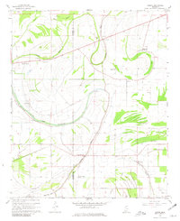
1967 Map of Sabino
USGS Topo · Published 1981About this map
Cassidy Bayou winds through the agricultural landscape along the Coahoma and Quitman County line, defining a region where water management and cotton farming shaped the settlement patterns of the late 1960s. The terrain is notably flat, characterized by drainage features like Big Creek Deadwater and the meandering path of Alcorn Bayou. Small rural hubs such as Sabino and Barksdale serve as anchors for the surrounding community, which is dotted with numerous small country churches including New Cassidy Ch, Friendship Ch, and Shady Grove Ch. Evidence of deep historical roots can be found at the Indian Mound near the Coahoma border. The map also records essential infrastructure of the era, from a mid-century Landing Strip to the Gaging Station and various siphons and pipelines that supported the Delta's irrigation and industrial needs.
Find a feature on this map
29 named features on this map. Tap any name to fly to it.
Don’t see what you’re looking for? This feature index may not catch every label — zoom into the map to look around manually.
Map Details
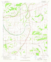
Editions of this 1967 Sabino Map
2 editions found
Other maps of this area

1908 · Coahoma
USGS Topo · 1:24,000

1908 · Jonestown
USGS Topo · 1:24,000

1910 · Coahoma
USGS Topo · 1:31,680

1910 · Jonestown
USGS Topo · 1:31,680

1932 · Tutwiler
USGS Topo · 1:48,000

1932 · Marks
USGS Topo · 1:48,000

1935 · Clarksdale
USGS Topo · 1:62,500

1935 · Marks
USGS Topo · 1:62,500

1935 · Tutwiler
USGS Topo · 1:62,500

1939 · Farrell
USGS Topo · 1:62,500