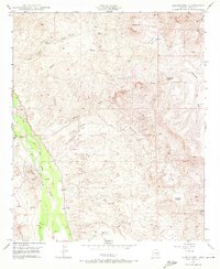
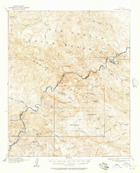
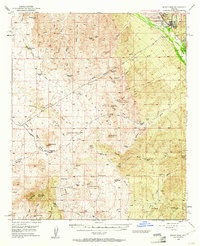
1949 Map of Saddle Mtn.
USGS Topo · Published 1972About this map
The San Pedro River corridor in Pinal County anchors this 1949 survey, revealing a landscape defined by ranching and mineral extraction just before the mid-century. The valley floor contains the noted Finch Sch (Aband), signaling a shift in the local rural population. To the east, the terrain rises sharply toward the prominence of Saddle Mtn and the intricate drainage networks of Eskimazene Wash and Lantern Wash.
Find a feature on this map
28 named features on this map. Tap any name to fly to it.
Don’t see what you’re looking for? This feature index may not catch every label — zoom into the map to look around manually.
Map Details
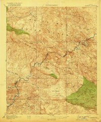
Editions of this 1949 Saddle Mtn. Map
4 editions found
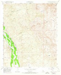
Other maps of this area
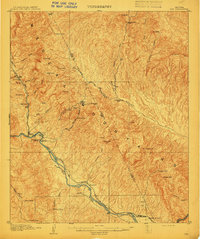
1910 · Ray
USGS Topo · 1:62,500

1911 · Winkelman
USGS Topo · 1:125,000

1913 · Winkelman
USGS Topo · 1:125,000
1915 · Christmas
USGS Topo · 1:62,500
1917 · Christmas
USGS Topo · 1:62,500
1949 · Holy Joe Peak
USGS Topo · 1:62,500
1949 · Winkelman
USGS Topo · 1:24,000
1949 · Winkelman
USGS Topo · 1:62,500
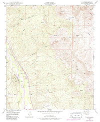
1949 · Saddle Mtn.
USGS Topo · 1:24,000
1949 · Brandenburg Mtn
USGS Topo · 1:24,000