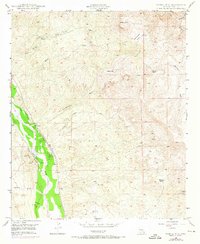
1949 Map of Saddle Mtn.
USGS Topo · Published 1973About this map
The San Pedro River corridor defines this landscape, where early 20th-century ranching and mining operations were etched into the desert floor. Remote outposts such as Kelley's Camp and Whittaker Ranch represent the sparse settlement patterns of Pinal County during this era, relying on seasonal water sources like Piper Springs and Carrico Spr.
Find a feature on this map
25 named features on this map. Tap any name to fly to it.
Don’t see what you’re looking for? This feature index may not catch every label — zoom into the map to look around manually.
Map Details
Editions of this 1949 Saddle Mtn. Map
4 editions found
Other maps of this area

1910 · Ray
USGS Topo · 1:62,500

1911 · Winkelman
USGS Topo · 1:125,000

1913 · Winkelman
USGS Topo · 1:125,000

1915 · Christmas
USGS Topo · 1:62,500

1917 · Christmas
USGS Topo · 1:62,500

1949 · Holy Joe Peak
USGS Topo · 1:62,500

1949 · Winkelman
USGS Topo · 1:24,000

1949 · Winkelman
USGS Topo · 1:62,500

1949 · Saddle Mtn.
USGS Topo · 1:24,000

1949 · Brandenburg Mtn
USGS Topo · 1:24,000