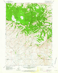
1962 Map of Sagebrush Park
USGS Topo · Published 1964About this map
The Green Mountains dominate this high-altitude landscape along the border of Fremont and Sweetwater Counties in the early 1960s. This survey details a network of drainage basins including West Cottonwood Creek, Middle Cottonwood Creek, and East Cottonwood Creek, which flow through high meadows like Sagebrush Park and Little Long Park. Human activity is sparse but notable, centered on the Hadsell Ranch and a remote Mine located near a Jeep Trail in the western section of the quadrangle. The map captures the complex topography of the Stratton Rim and Whiskey Ridge, where dramatic elevation changes define the transition from high mountain parks to the Stratton Hollow below. This survey is particularly useful for tracing early ranching boundaries and the original paths of unimproved roads across the Owl Hills.
Find a feature on this map
32 named features on this map. Tap any name to fly to it.
Don’t see what you’re looking for? This feature index may not catch every label — zoom into the map to look around manually.
Map Details
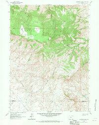
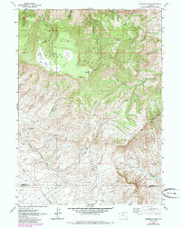
Editions of this 1962 Sagebrush Park Map
3 editions found
Other maps of this area

1951 · Crooks Creek NE
USGS Topo · 1:24,000

1951 · Split Rock
USGS Topo · 1:24,000

1951 · Split Rock NW
USGS Topo · 1:24,000

1955 · Casper
USGS Topo · 1:250,000

1957 · Jeffrey City
USGS Topo · 1:24,000

1958 · Casper
USGS Topo · 1:250,000
1961 · Osborne Well
USGS Topo · 1:24,000

1961 · Hadsell Spring
USGS Topo · 1:24,000

1961 · Crooks Peak
USGS Topo · 1:24,000

1961 · Bairoil
USGS Topo · 1:24,000