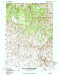
1962 Map of Sagebrush Park
USGS Topo · Published 1985About this map
Green Mountain dominates this high-altitude landscape along the border of Fremont and Sweetwater Counties, where industrial activity and ranching intersect with a network of high-desert drainages. The Star Mine sits in the lower elevations south of Stratton Rim, a prominent escarpment that defines the southern half of the map. This area serves as a critical watershed, feeding numerous seasonal and perennial flows including Crooks Creek, Lost Soldier Creek, and the intricate forks of East Cottonwood Creek.
Find a feature on this map
27 named features on this map. Tap any name to fly to it.
Don’t see what you’re looking for? This feature index may not catch every label — zoom into the map to look around manually.
Map Details
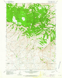
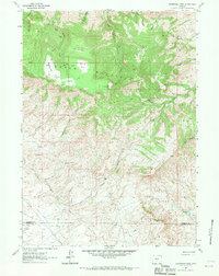
Editions of this 1962 Sagebrush Park Map
3 editions found
Other maps of this area

1951 · Crooks Creek NE
USGS Topo · 1:24,000

1951 · Split Rock
USGS Topo · 1:24,000

1951 · Split Rock NW
USGS Topo · 1:24,000

1955 · Casper
USGS Topo · 1:250,000

1957 · Jeffrey City
USGS Topo · 1:24,000

1958 · Casper
USGS Topo · 1:250,000
1961 · Osborne Well
USGS Topo · 1:24,000

1961 · Hadsell Spring
USGS Topo · 1:24,000

1961 · Crooks Peak
USGS Topo · 1:24,000

1961 · Bairoil
USGS Topo · 1:24,000