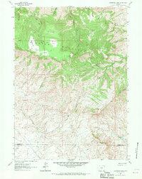
1962 Map of Sagebrush Park
USGS Topo · Published 1970About this map
Green Mountain dominates the high-altitude landscape of central Wyoming, rising above a network of creek drainages and high meadows during the early 1960s. The northern reaches are characterized by timbered slopes and isolated openings like Little Long Park, Round Park, and the quadrangle's namesake Sagebrush Park. Drainage systems like West Cottonwood Creek and Spring Creek flow northward toward the Owl Hills, while the southern half of the map reveals a shift toward drier, broken terrain marked by Stratton Rim and Stratton Hollow.
Find a feature on this map
32 named features on this map. Tap any name to fly to it.
Don’t see what you’re looking for? This feature index may not catch every label — zoom into the map to look around manually.
Map Details
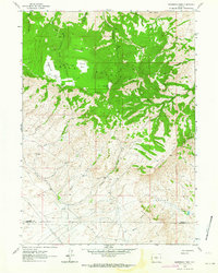
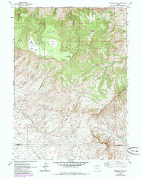
Editions of this 1962 Sagebrush Park Map
3 editions found
Other maps of this area

1951 · Crooks Creek NE
USGS Topo · 1:24,000

1951 · Split Rock
USGS Topo · 1:24,000

1951 · Split Rock NW
USGS Topo · 1:24,000

1955 · Casper
USGS Topo · 1:250,000

1957 · Jeffrey City
USGS Topo · 1:24,000

1958 · Casper
USGS Topo · 1:250,000
1961 · Osborne Well
USGS Topo · 1:24,000

1961 · Hadsell Spring
USGS Topo · 1:24,000

1961 · Crooks Peak
USGS Topo · 1:24,000

1961 · Bairoil
USGS Topo · 1:24,000