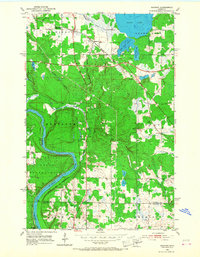
1953 Map of Saginaw
USGS Topo · Published 1968About this map
The St Louis River winds through the southern portion of this St. Louis County landscape, defining the northern boundary of the Fond Du Lac Indian Reservation. This 1950s survey documents a critical junction of northern Minnesota's industrial infrastructure, where the Duluth Missabe and Iron Range rail line intersects with the Duluth and Northeastern Railroad and the Great Northern tracks. The settlement of Saginaw and the nearby Grand Lake (Saginaw PO) serve as local hubs in an area characterized by interconnected water bodies including Little Grand Lake, Baby Grand Lake, and the winding Dutch Slough. Geologic features are marked by numerous Gravel Pits and named townships such as Industrial, Brevator, and Solway. Local history is anchored by the Brevator Cem, located just north of the river's bend, while the boundary between St. Louis and Carlton counties is clearly delineated to the south.
Find a feature on this map
25 named features on this map. Tap any name to fly to it.
Don’t see what you’re looking for? This feature index may not catch every label — zoom into the map to look around manually.
Map Details
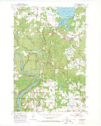
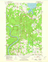
Editions of this 1953 Saginaw Map
4 editions found
Other maps of this area

1953 · Twig
USGS Topo · 1:24,000

1953 · Saginaw
USGS Topo · 1:24,000

1953 · Adolph
USGS Topo · 1:24,000

1953 · Alborn
USGS Topo · 1:24,000

1953 · Brookston
USGS Topo · 1:24,000

1953 · Independence
USGS Topo · 1:24,000

1953 · Duluth
USGS Topo · 1:250,000

1954 · Cloquet
USGS Topo · 1:24,000

1954 · Esko
USGS Topo · 1:24,000

1954 · Iverson
USGS Topo · 1:24,000