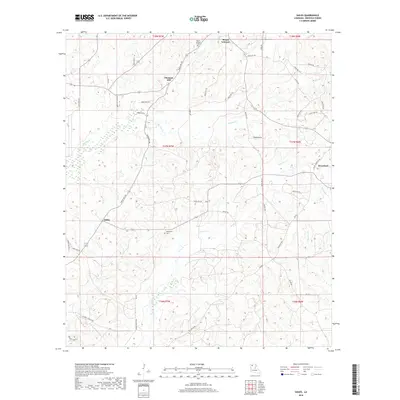
2018 Map of Sailes
USGS Topo · Published 2018About this map
Mount Lebanon and its nearby Mount Lebanon Cem occupy the northern heights of this Bienville Parish landscape, anchoring a rural region defined by tributary creeks and small settlements. The community of Bryceland sits to the east, while Sailes and Pleasant Hill mark the central and western reaches. This area is heavily dissected by drainage networks, including the westward-flowing Brushy Cr and the southerly Kepler Cr, which shape the local topography.
Find a feature on this map
51 named features on this map. Tap any name to fly to it.
Don’t see what you’re looking for? This feature index may not catch every label — zoom into the map to look around manually.
Map Details
Editions of this 2018 Sailes Map
This is the sole edition of this map. No revisions or reprints were ever made.
Other maps of this area

1947 · Bienville
USGS Topo · 1:62,500

1948 · Jamestown
USGS Topo · 1:62,500

1949 · Jamestown
USGS Topo · 1:62,500

1949 · Bienville
USGS Topo · 1:62,500

1949 · Gibsland
USGS Topo · 1:62,500

1950 · Gibsland
USGS Topo · 1:62,500

1950 · Arcadia
USGS Topo · 1:62,500

1951 · Arcadia
USGS Topo · 1:62,500

1955 · Shreveport
USGS Topo · 1:250,000

1956 · Shreveport
USGS Topo · 1:250,000