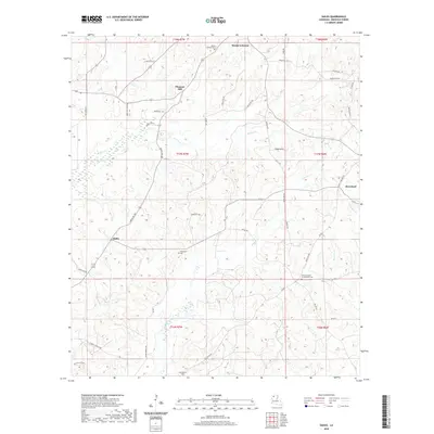
2020 Map of Sailes
USGS Topo · Published 2020About this map
Mount Lebanon and Bryceland anchor this portion of Bienville Parish, where the rolling landscape is defined by the winding paths of Brushy Cr and Kepler Cr. The area maintains a rural character dominated by family-named roads and historic burial grounds, including the Mount Lebanon Cem and the Shiloh Garden of Memories Cem. These landmarks reflect the deep-rooted settlement patterns of north-central Louisiana, where small communities like Pleasant Hill and Sailes are connected by a network of local routes such as Old Sparta Rd and St Rest Church Rd.
Find a feature on this map
45 named features on this map. Tap any name to fly to it.
Don’t see what you’re looking for? This feature index may not catch every label — zoom into the map to look around manually.
Map Details
Editions of this 2020 Sailes Map
This is the sole edition of this map. No revisions or reprints were ever made.
Other maps of this area

1947 · Bienville
USGS Topo · 1:62,500

1948 · Jamestown
USGS Topo · 1:62,500

1949 · Jamestown
USGS Topo · 1:62,500

1949 · Bienville
USGS Topo · 1:62,500

1949 · Gibsland
USGS Topo · 1:62,500

1950 · Gibsland
USGS Topo · 1:62,500

1950 · Arcadia
USGS Topo · 1:62,500

1951 · Arcadia
USGS Topo · 1:62,500

1955 · Shreveport
USGS Topo · 1:250,000

1956 · Shreveport
USGS Topo · 1:250,000