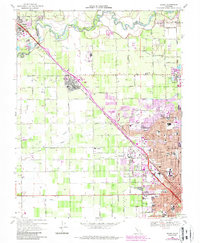
1969 Map of Salida
USGS Topo · Published 1987About this map
The Stanislaus River marks the northern boundary of this survey, where the river winds between San Joaquin and Stanislaus counties. The agricultural landscape is defined by an intricate network of irrigation channels, including Lateral No 8 and Main Canal, which support the orchards and fields surrounding Salida. This era shows the expansion of Modesto northward, with new developments in purple tint encroaching on the once-rural lands near the Modesto State Hospital.
Find a feature on this map
88 named features on this map. Tap any name to fly to it.
Don’t see what you’re looking for? This feature index may not catch every label — zoom into the map to look around manually.
Map Details
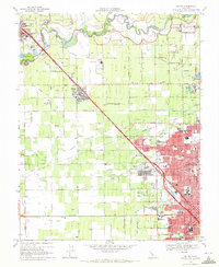
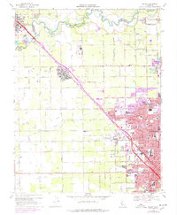
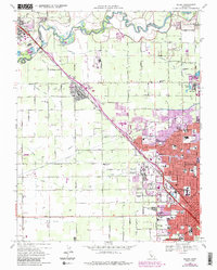
Editions of this 1969 Salida Map
4 editions found
Other maps of this area

1914 · Manteca
USGS Topo · 1:31,680

1914 · Avena
USGS Topo · 1:31,680

1915 · Ripon
USGS Topo · 1:31,680

1915 · Westport
USGS Topo · 1:31,680

1915 · Westley
USGS Topo · 1:31,680

1915 · Salida
USGS Topo · 1:31,680

1915 · Thalheim
USGS Topo · 1:31,680

1916 · Riverbank
USGS Topo · 1:31,680

1916 · Ceres
USGS Topo · 1:31,680

1939 · Modesto East
USGS Topo · 1:62,500