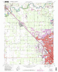
1969 Map of Salida
USGS Topo · Published 1987About this map
The Stanislaus River defines the northern boundary of this agricultural and urbanizing landscape, flowing past Ripon and a series of irrigation features. A complex network of water infrastructure, including the Hetch Hetchy Aqueduct, Main Canal, and numerous laterals like Lateral No 8, supports the intensive farming characteristic of the region. The map captures a moment of significant expansion for Modesto, with purple revisions indicating the suburban growth spreading toward Salida and McHenry.
Find a feature on this map
80 named features on this map. Tap any name to fly to it.
Don’t see what you’re looking for? This feature index may not catch every label — zoom into the map to look around manually.
Map Details
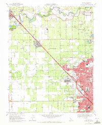
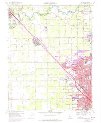
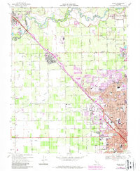
Editions of this 1969 Salida Map
4 editions found
Other maps of this area

1914 · Manteca
USGS Topo · 1:31,680

1914 · Avena
USGS Topo · 1:31,680

1915 · Ripon
USGS Topo · 1:31,680

1915 · Westport
USGS Topo · 1:31,680

1915 · Westley
USGS Topo · 1:31,680

1915 · Salida
USGS Topo · 1:31,680

1915 · Thalheim
USGS Topo · 1:31,680

1916 · Riverbank
USGS Topo · 1:31,680

1916 · Ceres
USGS Topo · 1:31,680

1939 · Modesto East
USGS Topo · 1:62,500