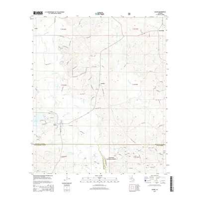
2015 Map of Saline
USGS Topo · Published 2015About this map
Saline sits at a historic crossroads in northern Louisiana, where the local economy and geography are defined by a complex network of waterways. The landscape is drained by Saline Bayou and Fouse Bayou, with smaller tributaries like Sprawls Mill Cr and Blooms Mill Cr suggesting a legacy of early water-powered industry. A notable concentration of activity surrounds the Mill Cr Reservoir and the town of Saline itself, which serves as a central hub for the surrounding rural communities of Lucky, Friendship, and Carolina.
Find a feature on this map
82 named features on this map. Tap any name to fly to it.
Don’t see what you’re looking for? This feature index may not catch every label — zoom into the map to look around manually.
Map Details
Editions of this 2015 Saline Map
This is the sole edition of this map. No revisions or reprints were ever made.
Other maps of this area

1947 · Goldonna
USGS Topo · 1:62,500

1947 · Ashland
USGS Topo · 1:62,500

1947 · Bienville
USGS Topo · 1:62,500

1948 · Jamestown
USGS Topo · 1:62,500

1949 · Jamestown
USGS Topo · 1:62,500

1949 · Bienville
USGS Topo · 1:62,500

1955 · Shreveport
USGS Topo · 1:250,000

1956 · Shreveport
USGS Topo · 1:250,000

1957 · Goldonna
USGS Topo · 1:62,500

1957 · Ashland
USGS Topo · 1:62,500