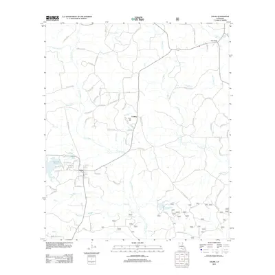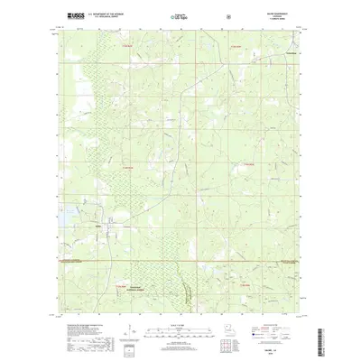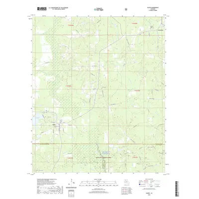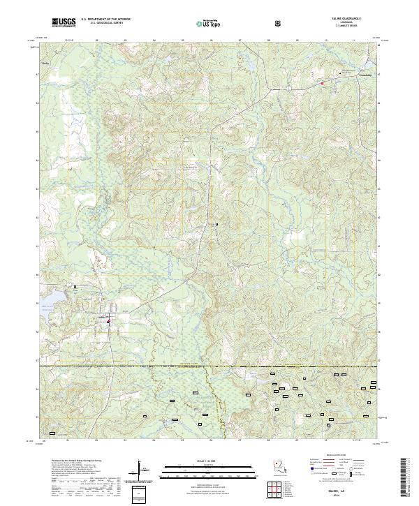
2024 Map of Saline
USGS Topo · Published 2024About this map
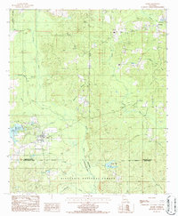
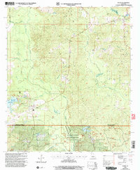
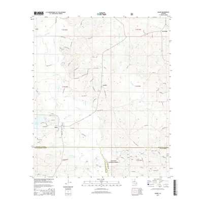
The Saline Bayou Wild and Scenic River meanders through the heart of this North Louisiana landscape, where the borders of Bienville, Natchitoches, and Winn Parishes converge. The settlement of Saline serves as the local hub, surrounded by a network of timber and parish roads that reach into the Kisatchie National Forest. This modern survey documents the area's rural character, dominated by creek drainages like Blooms Mill Creek and Sprawls Mill Creek that feed the larger bayou system.
Find a feature on this map
77 named features on this map. Tap any name to fly to it.
Don’t see what you’re looking for? This feature index may not catch every label — zoom into the map to look around manually.
Map Details
Editions of this 2024 Saline Map
This is the sole edition of this map. No revisions or reprints were ever made.
Historical Maps of Saline Through Time
7 maps found