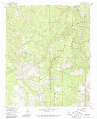
1963 Map of Saliz Pass
USGS Topo · Published 1986About this map
The Brushy Mountains and the Saliz Mountains dominate this high-country landscape, where the boundary between the Apache National Forest and Gila National Forest meets. A network of livestock infrastructure and early ranching history is preserved here, from the Pueblo Park Corral in the northwest to the L Kelly Ranch near the San Francisco River in the southeast.
Find a feature on this map
43 named features on this map. Tap any name to fly to it.
Don’t see what you’re looking for? This feature index may not catch every label — zoom into the map to look around manually.
Map Details
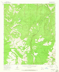
Editions of this 1963 Saliz Pass Map
2 editions found
Other maps of this area

1910 · Mogollon
USGS Topo · 1:125,000

1912 · Mogollon
USGS Topo · 1:125,000

1913 · Morenci
USGS Topo · 1:125,000

1915 · Morenci
USGS Topo · 1:125,000

1915 · Reserve
USGS Topo · 1:125,000

1918 · Reserve
USGS Topo · 1:125,000

1922 · Nutrioso
USGS Topo · 1:125,000

1954 · Clifton
USGS Topo · 1:250,000

1957 · Clifton
USGS Topo · 1:250,000

1958 · Clifton
USGS Topo · 1:250,000