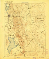
1885 Map of Salt Lake
USGS Topo · Published 1921About this map
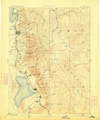
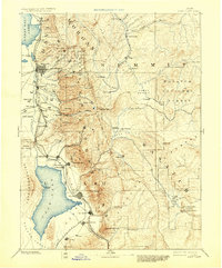
Salt Lake City and the expanding settlements of the Salt Lake Valley appear in this late 19th-century reconnaissance, capturing the region's development before the turn of the century. The map illustrates a landscape defined by the proximity of the Wasatch Mountains to the eastern shores of the Great Salt Lake and the freshwater expanse of Utah Lake. Key early transportation corridors are established, notably the U. P. R. R. and the Denver and Rio Grande Western R. R. connecting mining and agricultural hubs. High-elevation mining camps such as Alta and Park City sit perched in the peaks, while valley towns like Provo, Sandy, and Lehi City thrive along the river drainages. The inclusion of the Strawberry Valley Bird Reserve and Uinta National Forest reflects the early federal management of these critical mountain watersheds.
Find a feature on this map
88 named features on this map. Tap any name to fly to it.
Don’t see what you’re looking for? This feature index may not catch every label — zoom into the map to look around manually.
Map Details
Editions of this 1885 Salt Lake Map
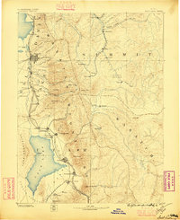
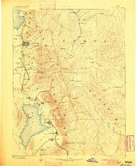
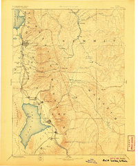
7 editions found
Other maps of this area

1885 · Salt Lake
USGS Topo · 1:250,000

1885 · Manti
USGS Topo · 1:250,000

1885 · Sevier Desert
USGS Topo · 1:250,000

1885 · Uinta
USGS Topo · 1:250,000

1885 · Tooele Valley
USGS Topo · 1:250,000

1886 · Price River
USGS Topo · 1:250,000

1895 · Manti
USGS Topo · 1:250,000

1896 · Price River
USGS Topo · 1:250,000

1900 · Coalville
USGS Topo · 1:125,000

1901 · Hayden Peak
USGS Topo · 1:125,000