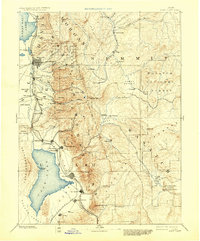
1885 Map of Salt Lake
USGS Topo · Published 1930About this map
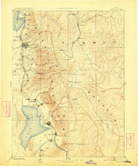
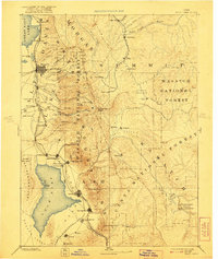
The Wasatch Mountains dominate this reconnaissance-scale survey, anchoring a landscape where the high peaks of the Uinta National Forest meet the growing industrial and agricultural valleys of the late nineteenth century. The settlement pattern follows the geography of water, with towns like Lehi City, American Fork, and Pleasant Grove established along the eastern shores of Utah Lake. To the north, Salt Lake City and Fort Douglas serve as the region's urban and military core, flanked by the Great Salt Lake and smaller bodies such as Hot Spring Lake.
Find a feature on this map
88 named features on this map. Tap any name to fly to it.
Don’t see what you’re looking for? This feature index may not catch every label — zoom into the map to look around manually.
Map Details
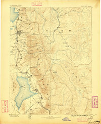
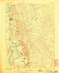
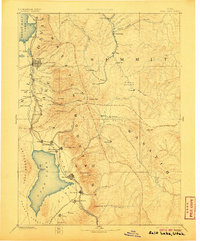
Editions of this 1885 Salt Lake Map
7 editions found
Other maps of this area

1885 · Salt Lake
USGS Topo · 1:250,000

1885 · Manti
USGS Topo · 1:250,000

1885 · Sevier Desert
USGS Topo · 1:250,000

1885 · Uinta
USGS Topo · 1:250,000

1885 · Tooele Valley
USGS Topo · 1:250,000

1886 · Price River
USGS Topo · 1:250,000

1895 · Manti
USGS Topo · 1:250,000

1896 · Price River
USGS Topo · 1:250,000

1900 · Coalville
USGS Topo · 1:125,000

1901 · Hayden Peak
USGS Topo · 1:125,000