
1901 Map of San Bernardino
USGS Topo · Published 1901About this map
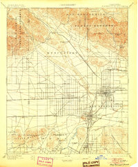
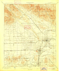
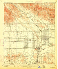
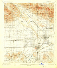
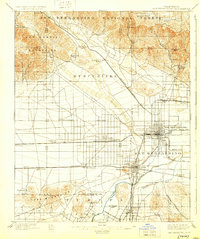
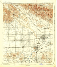
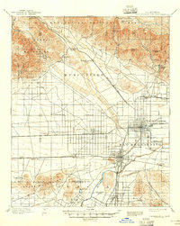
The San Bernardino valley at the close of the nineteenth century appears as a burgeoning rail hub where the Southern California R. R. and Southern Pacific R. R. converge. This survey, conducted just before the turn of the century, captures the expansion of agricultural and industrial settlements like Rialto, Bloomington, and Colton along the valley floor. To the north, the steep terrain of the San Bernardino Forest Reserve is dotted with early mountain infrastructure, including a Toll House in Waterman Canyon and the notable Arrowhead Springs resort. The landscape reflects a transition from ranching heritage, represented by Glen Helen Ranch, to organized transit, evidenced by the San Bernardino Highlands Motor Line. South of the Santa Ana River, the Jurupa Mountains and Declezville suggest early quarrying activity that helped build the region's foundations.
Find a feature on this map
50 named features on this map. Tap any name to fly to it.
Don’t see what you’re looking for? This feature index may not catch every label — zoom into the map to look around manually.
Map Details
Editions of this 1901 San Bernardino Map
8 editions found
Other maps of this area

1896 · San Bernardino
USGS Topo · 1:62,500

1897 · Cucamonga
USGS Topo · 1:62,500

1898 · San Bernardino
USGS Topo · 1:62,500

1899 · Redlands
USGS Topo · 1:62,500

1900 · Cucamonga
USGS Topo · 1:62,500

1901 · Southern California Sheet No. 1
USGS Topo · 1:250,000

1901 · Redlands
USGS Topo · 1:62,500

1901 · Elsinore
USGS Topo · 1:125,000

1901 · Riverside
USGS Topo · 1:62,500

1902 · Deep Creek
USGS Topo · 1:62,500