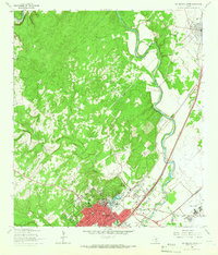
1964 Map of San Marcos North
USGS Topo · Published 1966About this map
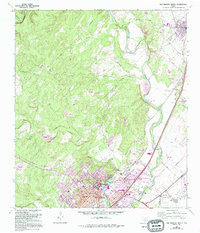
San Marcos and Kyle serve as the primary anchors for this 1964 survey of the Balcones Escarpment region, where the hill country meets the prairie. The landscape is defined by the winding course of the Blanco River and the significant spring-fed waters of Spring Lake, which sit at the heart of the Southwest Texas State College campus. The concentration of educational and medical facilities like the County Memorial Hospital and Travis Sch reflects the growing mid-century institutional character of the area.
Find a feature on this map
27 named features on this map. Tap any name to fly to it.
Don’t see what you’re looking for? This feature index may not catch every label — zoom into the map to look around manually.
Map Details
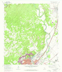
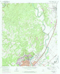
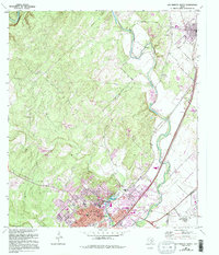
Editions of this 1964 San Marcos North Map
5 editions found
Other maps of this area

1887 · Blanco
USGS Topo · 1:125,000

1894 · Blanco
USGS Topo · 1:125,000

1896 · Austin
USGS Topo · 1:125,000

1897 · Austin
USGS Topo · 1:125,000

1910 · Austin
USGS Topo · 1:125,000

1911 · San Marcos
USGS Topo · 1:125,000

1919 · San Marcos
USGS Topo · 1:125,000

1929 · Hunter
USGS Topo · 1:62,500

1953 · Seguin
USGS Topo · 1:250,000

1954 · Llano
USGS Topo · 1:250,000