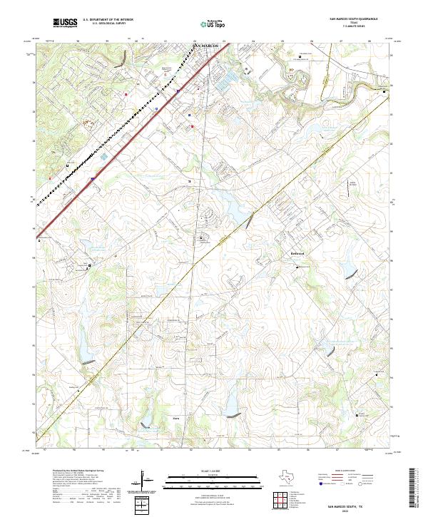
2022 Map of San Marcos South
USGS Topo · Published 2022About this map
The San Marcos corridor south into the Hill Country fringe reflects a landscape defined by significant hydrological features and scattered family history. The drainage of Purgatory Cr and Willow Springs Cr gives way to the broader flow of the San Marcos River as it reaches the Hays and Guadalupe County line. Modern water management is evident in the numerous reservoirs, such as John F Baugh Reservoir and the Soil Conservation Service Site 15 Reservoir, which dot the terrain alongside established settlements like Redwood and Zorn. For genealogists and local historians, the sheet is exceptionally rich in burial sites, ranging from the Cheatham Cem near the river to more secluded family plots like the Braune Family Cem and Hector Family Cem. These sites, along with the Hays County Government Center, provide a clear view of the institutional and familial foundations of this Central Texas region.
Find a feature on this map
164 named features on this map. Tap any name to fly to it.
Don’t see what you’re looking for? This feature index may not catch every label — zoom into the map to look around manually.
Map Details
Editions of this 2022 San Marcos South Map
This is the sole edition of this map. No revisions or reprints were ever made.
Historical Maps of Victory Gardens Through Time
16 maps found

1924 New Braunfels No 4
Guadalupe County, TX

1924 San Marcos 3-c
Guadalupe County, TX

1924 San Marcos 3-d
Guadalupe County, TX

1925 New Braunfels No 1
Guadalupe County, TX

1942 Dewville
Guadalupe County, TX

1956 Dewville
Guadalupe County, TX
1958 New Braunfels East
Guadalupe County, TX
1961 Thomas Springs
Guadalupe County, TX
1962 Dewville
Guadalupe County, TX
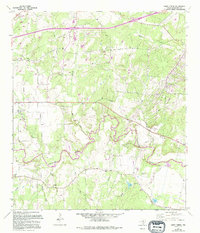
1964 Darst Creek
Guadalupe County, TX
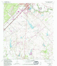
1964 San Marcos South
Guadalupe County, TX
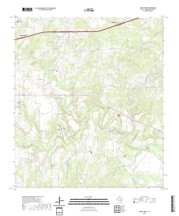
2022 Darst Creek
Guadalupe County, TX
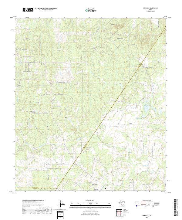
2022 Dewville
Guadalupe County, TX
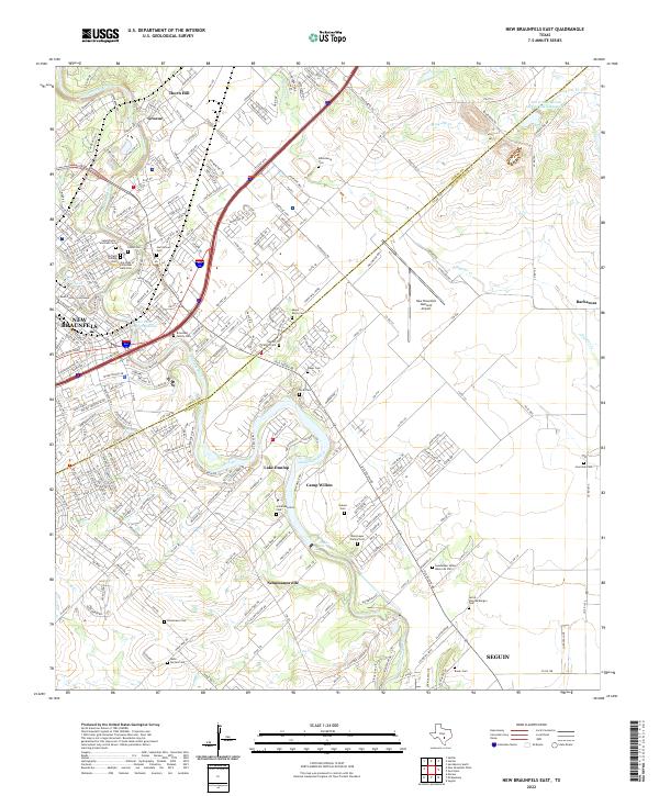
2022 New Braunfels East
Guadalupe County, TX
2022 San Marcos South
Guadalupe County, TX
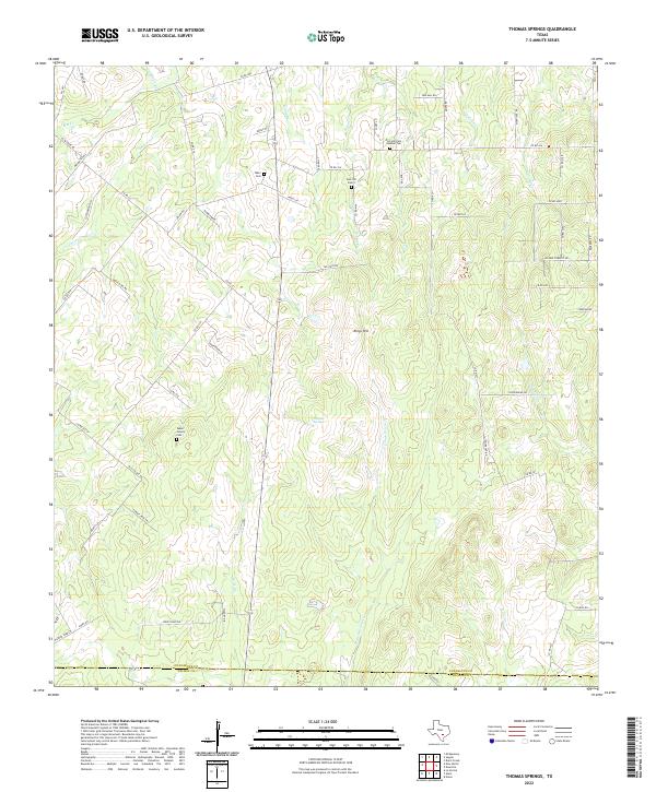
2022 Thomas Springs
Guadalupe County, TX