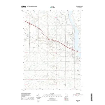
2019 Map of Sanford
USGS Topo · Published 2019About this map
The Salt River and its numerous tributaries, including Black Creek and Verity Creek, define the landscape of this Midland County region. The community of Sanford sits at the edge of Sanford Lake, a significant reservoir formed along the river's path. The map illustrates a transition from established residential centers like North Bradley and Francis Grove to the extensive managed lands of the Pine Haven Recreation Area.
Find a feature on this map
59 named features on this map. Tap any name to fly to it.
Don’t see what you’re looking for? This feature index may not catch every label — zoom into the map to look around manually.
Map Details
Editions of this 2019 Sanford Map
This is the sole edition of this map. No revisions or reprints were ever made.
Other maps of this area

1930 · Shepherd
USGS Topo · 1:48,000

1934 · Sanford
USGS Topo · 1:62,500

1936 · Shepherd
USGS Topo · 1:62,500

1936 · Sanford
USGS Topo · 1:62,500

1954 · Midland
USGS Topo · 1:250,000

1958 · Midland
USGS Topo · 1:250,000

1959 · Midland
USGS Topo · 1:250,000

1966 · Midland
USGS Topo · 1:250,000

1969 · Coleman
USGS Topo · 1:24,000
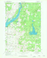
1969 · Hope
USGS Topo · 1:24,000