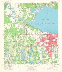
1965 Map of Sanford
USGS Topo · Published 1968About this map
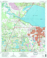
The south shore of Lake Monroe serves as the focal point for this mid-1960s survey, dominated by the urban grid of Sanford and its surrounding citrus and celery lands. The map illustrates a city defined by its transportation history, showing the Seaboard Coast Line and Atlantic Coast Line railroads converging near the Rand Yard. To the southeast, the Sanford Naval Air Station occupies a significant footprint, reflecting the area's strategic maritime and aviation role.
Find a feature on this map
102 named features on this map. Tap any name to fly to it.
Don’t see what you’re looking for? This feature index may not catch every label — zoom into the map to look around manually.
Map Details
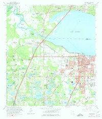
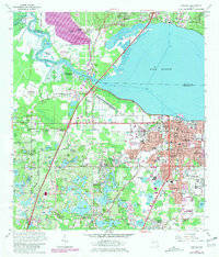
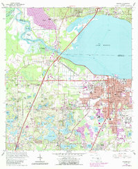
Editions of this 1965 Sanford Map
5 editions found
Other maps of this area

1955 · Orlando
USGS Topo · 1:250,000

1956 · Oviedo
USGS Topo · 1:24,000

1957 · Orlando
USGS Topo · 1:250,000

1958 · Orlando
USGS Topo · 1:250,000

1959 · Forest City
USGS Topo · 1:24,000

1962 · Orlando
USGS Topo · 1:250,000

1962 · Pine Lakes
USGS Topo · 1:24,000

1962 · Casselberry
USGS Topo · 1:24,000
1964 · Orange City
USGS Topo · 1:24,000
1965 · Sanford SW
USGS Topo · 1:24,000