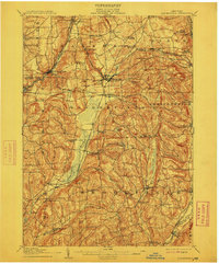
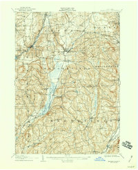
1907 Map of Sangerfield
USGS Topo · Published 1912About this map
Oriskany Falls and Waterville anchor this early twentieth-century survey of the headwaters where the Sangerfield River and Oriskany Creek divide the landscape. The region's development is closely tied to its complex drainage and transportation corridors, including the historic Cherry Valley Turnpike cutting east-west across the central hills. The map captures a high density of rural institutions, particularly schoolhouses like the Bentley Schoolhouse and Tophet Schoolhouse, which served scattered agrarian hamlets such as Brothertown and Forge Hollow.
Find a feature on this map
73 named features on this map. Tap any name to fly to it.
Don’t see what you’re looking for? This feature index may not catch every label — zoom into the map to look around manually.
Map Details
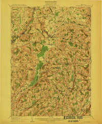
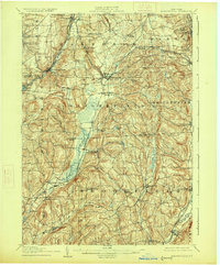
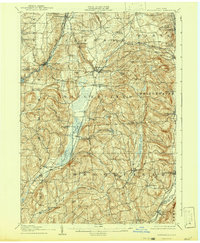
Editions of this 1907 Sangerfield Map
6 editions found

Other maps of this area

1895 · Oriskany
USGS Topo · 1:62,500

1895 · Oneida
USGS Topo · 1:62,500

1898 · Oneida
USGS Topo · 1:62,500

1898 · Utica
USGS Topo · 1:62,500

1898 · Oriskany
USGS Topo · 1:62,500

1900 · Utica
USGS Topo · 1:62,500

1902 · Morrisville
USGS Topo · 1:62,500

1902 · Oneida
USGS Topo · 1:62,500

1903 · Norwich
USGS Topo · 1:62,500

1907 · Winfield
USGS Topo · 1:62,500