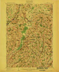
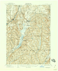
1907 Map of Sangerfield
USGS Topo · Published 1912About this map
Oriskany Falls and Waterville anchor this early 20th-century survey of the headwaters between the Mohawk and Susquehanna drainage basins. The landscape is defined by a dense network of hamlets and rural crossroads like Forge Hollow, Brothertown, and Dakin Corners. This era reveals a sophisticated transportation corridor where the Cherry Valley Turnpike intersects with multiple rail lines, including the New York Ontario and Western RR and the Utica Div, D L & W R R.
Find a feature on this map
69 named features on this map. Tap any name to fly to it.
Don’t see what you’re looking for? This feature index may not catch every label — zoom into the map to look around manually.
Map Details
Editions of this 1907 Sangerfield Map
6 editions found

Other maps of this area

1895 · Oriskany
USGS Topo · 1:62,500

1895 · Oneida
USGS Topo · 1:62,500

1898 · Oneida
USGS Topo · 1:62,500

1898 · Utica
USGS Topo · 1:62,500

1898 · Oriskany
USGS Topo · 1:62,500

1900 · Utica
USGS Topo · 1:62,500

1902 · Morrisville
USGS Topo · 1:62,500

1902 · Oneida
USGS Topo · 1:62,500

1903 · Norwich
USGS Topo · 1:62,500

1907 · Winfield
USGS Topo · 1:62,500