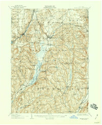
1907 Map of Sangerfield
USGS Topo · Published 1942About this map
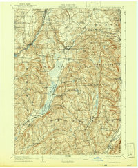
Oriskany Falls and the surrounding dairy and agricultural lands of southern Oneida and northern Madison counties are revealed here in a survey from the early 1900s. The landscape is defined by the headwaters of the Sangerfield River and Beaver Creek, with a network of rural schools including the Bentley Schoolhouse and Tophet Schoolhouse serving isolated farming families. The mapping captures the importance of regional transport at the time, showing the Cherry Valley Turnpike crossing paths with the Western O & W R R and the Utica Div of the D L & W R R. Smaller nodes like Muns Mills and Forge Hollow suggest the localized industry of the era, while named hills such as Hardscrabble Hill and Moscow Hill provide topographic context for the numerous corners and settlements that dotted this upstate New York countryside.
Find a feature on this map
74 named features on this map. Tap any name to fly to it.
Don’t see what you’re looking for? This feature index may not catch every label — zoom into the map to look around manually.
Map Details
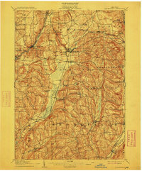
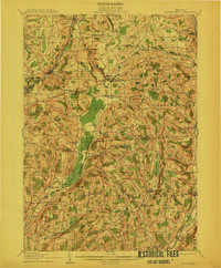
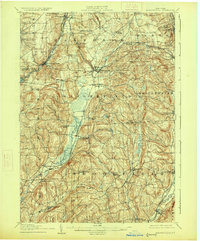
Editions of this 1907 Sangerfield Map
6 editions found

Other maps of this area

1895 · Oriskany
USGS Topo · 1:62,500

1895 · Oneida
USGS Topo · 1:62,500

1898 · Oneida
USGS Topo · 1:62,500

1898 · Utica
USGS Topo · 1:62,500

1898 · Oriskany
USGS Topo · 1:62,500

1900 · Utica
USGS Topo · 1:62,500

1902 · Morrisville
USGS Topo · 1:62,500

1902 · Oneida
USGS Topo · 1:62,500

1903 · Norwich
USGS Topo · 1:62,500

1907 · Winfield
USGS Topo · 1:62,500