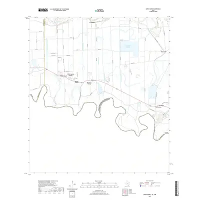
2019 Map of Santa Maria
USGS Topo · Published 2019About this map
The Rio Grande defines the international boundary between the United States and Mexico in this South Texas borderland. A sophisticated network of irrigation infrastructure supports the region's agricultural character, featuring the Adams Winter Garden Reservoir and numerous arterial waterways such as the Santa Maria, La Feria, and Lewis Main canals. These engineered systems weave between established communities and newer settlements along the corridor, including Colonia Iglesia Antigua, Bluetown Colonia, and Santa Maria.
Find a feature on this map
63 named features on this map. Tap any name to fly to it.
Don’t see what you’re looking for? This feature index may not catch every label — zoom into the map to look around manually.
Map Details
Editions of this 2019 Santa Maria Map
This is the sole edition of this map. No revisions or reprints were ever made.
Other maps of this area

1929 · Harlingen
USGS Topo · 1:24,000

1929 · Santa Maria
USGS Topo · 1:24,000

1929 · La Feria
USGS Topo · 1:24,000

1929 · La Paloma
USGS Topo · 1:24,000

1932 · Harlingen
USGS Topo · 1:31,680

1936 · La Feria
USGS Topo · 1:31,680

1936 · Santa Maria
USGS Topo · 1:31,680
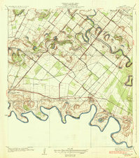
1936 · La Paloma
USGS Topo · 1:31,680

1953 · Brownsville
USGS Topo · 1:250,000
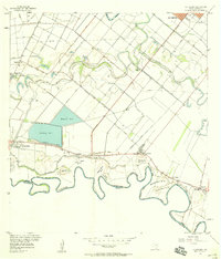
1956 · La Paloma
USGS Topo · 1:24,000