Loading...
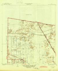
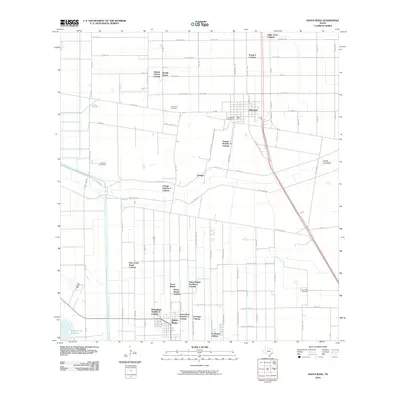
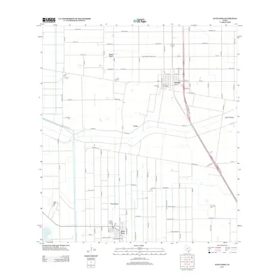
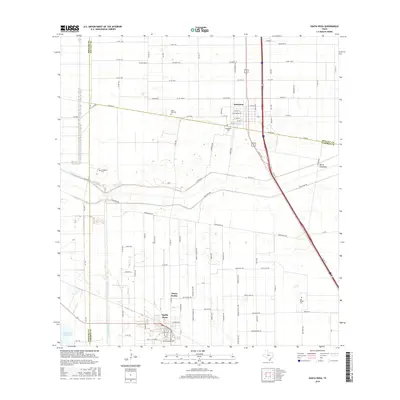
Loading map...1956 Map of Santa Rosa
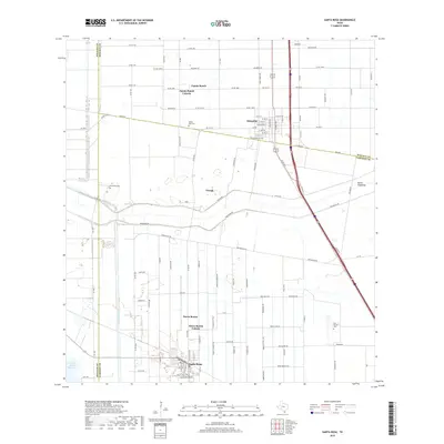
USGS Topo · Published 1970About this map
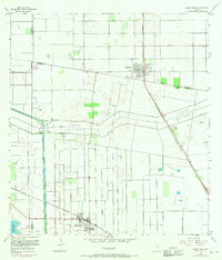
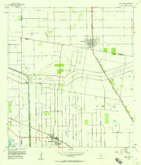
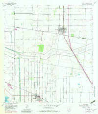
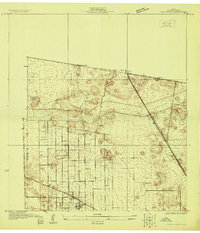
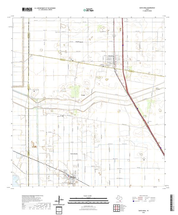
Agricultural development and flood control infrastructure dominate this mid-century Rio Grande Valley landscape near the border of Cameron, Willacy, and Hidalgo counties. The settlements of Santa Rosa and Sebastian serve as local hubs, connected by the Southern Pacific and Missouri Pacific railroads. A complex network of water management features, including the North Floodway, Willacy Canal, and numerous elevated ditches, illustrates the region's reliance on managed irrigation for its citrus groves and fields.
Find a feature on this map
29 named features on this map. Tap any name to fly to it.
Don’t see what you’re looking for? This feature index may not catch every label — zoom into the map to look around manually.
Map Details
Date Portrayed1956
Date Published1970
PublisherU.S. Geological Survey
Map TypeTopographic
Scale1:24,000
Physical Dimensions23 x 26.9 inches
Editions of this 1956 Santa Rosa Map
3 editions found
Historical Maps of Santa Rosa Through Time
8 maps found
Featured Locations
- S and C Colonia, TX
- Sebastian, TX
- Yznaga Number 1 Colonia, TX
- Tierra Bonita Number 2 Colonia, TX
- Santa Rosa, TX
Source Details
SourceU.S. Geological Survey
CopyrightPublic Domain