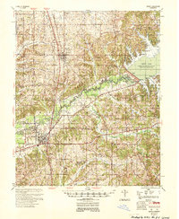
1953 Map of Sardis
USGS Topo · Published 1953About this map
The Sardis Dam and the sprawling waters of Sardis Lake dominate the landscape of Panola County in this mid-century survey. The massive engineering project on the Little Tallahatchie River is shown in detail, including the spillway and the recreation areas at Lower Lake Beach and Willow Cove. The map documents a transition in the region's geography, where traditional river crossings like the Belmont Bridge and local drainages like the Mc Ivor Canal sit alongside the newly managed reservoir system.
Find a feature on this map
73 named features on this map. Tap any name to fly to it.
Don’t see what you’re looking for? This feature index may not catch every label — zoom into the map to look around manually.
Map Details
Editions of this 1953 Sardis Map
This is the sole edition of this map. No revisions or reprints were ever made.
Other maps of this area
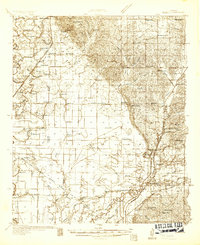
1932 · Sledge
USGS Topo · 1:48,000
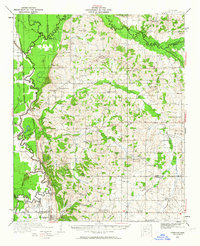
1932 · Crenshaw
USGS Topo · 1:62,500
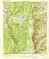
1935 · Crowder
USGS Topo · 1:62,500
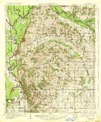
1935 · Crenshaw
USGS Topo · 1:62,500
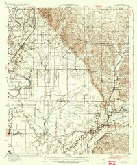
1935 · Sledge
USGS Topo · 1:62,500
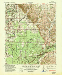
1939 · Sledge
USGS Topo · 1:62,500
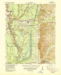
1939 · Crowder
USGS Topo · 1:62,500
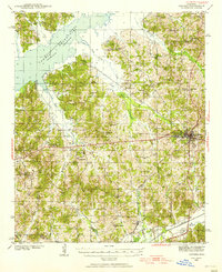
1940 · Oxford
USGS Topo · 1:62,500
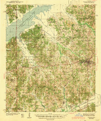
1943 · Oxford
USGS Topo · 1:62,500
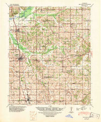
1944 · Senatobia
USGS Topo · 1:62,500