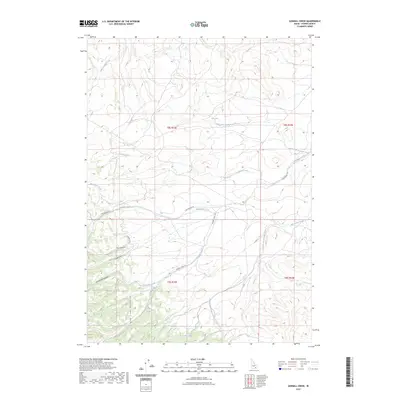
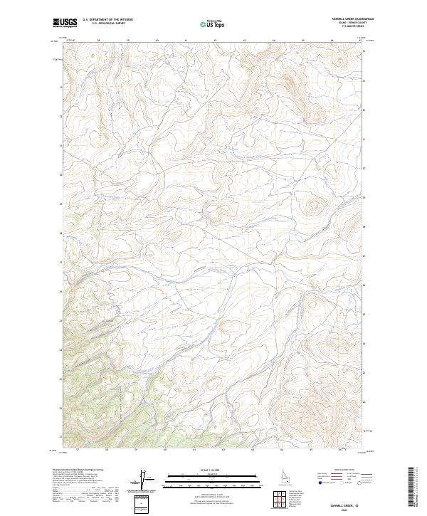
2023 Map of Sawmill Creek
USGS Topo · Published 2023About this map
The Deep Creek Mountains dominate this high-altitude landscape in Power County, where deep incisions such as Dry Canyon and Swede Canyon carve through the terrain. The drainage network is particularly intricate here, featuring names that suggest a legacy of early mountain activity, including Moonshine Creek and Sawmill Creek. Water sources are vital markers in this arid environment, evidenced by the presence of Sawmill Spring, Corral Spring, and Fisher Spring. Movement through these high basins is defined by a few primary routes, notably the Moonshine Trl and Sawmill Creek Rd, which follow the natural contours of the creeks. The map also documents Tonampi Naokwaide Creek, reflecting the indigenous nomenclature of the region alongside more modern descriptive labels like Porcupine Canyon.
Find a feature on this map
22 named features on this map. Tap any name to fly to it.
Don’t see what you’re looking for? This feature index may not catch every label — zoom into the map to look around manually.
Map Details
Editions of this 2023 Sawmill Creek Map
2 editions found
Other maps of this area

1934 · American Falls
USGS Topo · 1:62,500

1934 · Michaud
USGS Topo · 1:62,500

1934 · Rockland
USGS Topo · 1:62,500

1936 · American Falls
USGS Topo · 1:62,500

1937 · Rockland
USGS Topo · 1:62,500

1937 · Michaud
USGS Topo · 1:62,500

1938 · Pauline
USGS Topo · 1:48,000

1944 · Arbon
USGS Topo · 1:62,500

1954 · Pocatello
USGS Topo · 1:250,000

1958 · Pocatello
USGS Topo · 1:250,000