
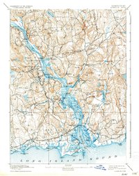
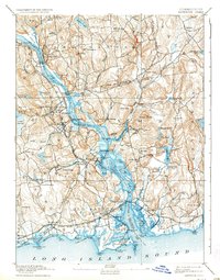
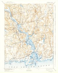
1893 Map of Saybrook
USGS Topo · Published 1898About this map
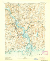
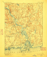
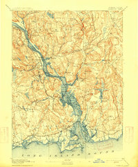
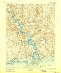
The Connecticut River serves as the central artery for this late nineteenth-century landscape, facilitating a network of maritime and rail transport. At the mouth of the river, the Saybrook Jetty and Saybrook Point anchor the coastline, while the Shore Line Division of the New York New Haven and Hartford Railroad links coastal settlements like Westbrook and Old Saybrook. Moving upriver, the importance of steamboat travel and river trade is evident at Goodspeed Landing and Hadlyme Landing. Inland, industrial and residential hubs such as Ivoryton, Center Brook, and Deep River show the established settlement patterns of the era. The topography is defined by prominent heights like Mt. Parnassus and Nickerson Hill, with the river winding past Selden Neck and through numerous coves and inlets that sustained local fishing and commerce.
Find a feature on this map
105 named features on this map. Tap any name to fly to it.
Don’t see what you’re looking for? This feature index may not catch every label — zoom into the map to look around manually.
Map Details
Editions of this 1893 Saybrook Map
8 editions found
Other maps of this area

1892 · New London
USGS Topo · 1:62,500

1892 · Norwich
USGS Topo · 1:62,500

1892 · Gilead
USGS Topo · 1:62,500

1893 · Guilford
USGS Topo · 1:62,500

1893 · Middletown
USGS Topo · 1:62,500

1893 · New London
USGS Topo · 1:62,500

1903 · Gardiners Island
USGS Topo · 1:62,500

1904 · Gardiners Island
USGS Topo · 1:62,500

1906 · Farmington
USGS Topo · 1:125,000

1921 · Gardiners Island
USGS Topo · 1:62,500