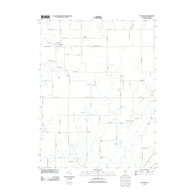
2012 Map of Scottville
USGS Topo · Published 2012About this map
Scottville sits at the intersection of several key rural routes in Macoupin County, serving as a hub for the surrounding agricultural prairie. The landscape is defined by the headwaters of numerous small waterways, including Panther Cr and Solomon Cr, which carve shallow valleys through the farmland. Evidence of early settlement and family lineages is abundant, with over a dozen burial grounds such as Panther Creek Cem and Hettick Point Cem dotting the township roads. To the south, the settlement of Barr anchors the area near Steidley Br. This 2012 survey illustrates a transition in rural infrastructure, where private facilities like James W Andrew Airport and recreation spots like Bunn Lake coexist with a traditional network of section-line roads like Modesto Scottville Rd and Hettick Scottville Rd.
Find a feature on this map
90 named features on this map. Tap any name to fly to it.
Don’t see what you’re looking for? This feature index may not catch every label — zoom into the map to look around manually.
Map Details
Editions of this 2012 Scottville Map
This is the sole edition of this map. No revisions or reprints were ever made.
Other maps of this area

1923 · Carlinville
USGS Topo · 1:48,000

1924 · Waverly
USGS Topo · 1:62,500

1925 · Carlinville
USGS Topo · 1:62,500

1926 · Waverly
USGS Topo · 1:62,500

1931 · Carlinville
USGS Topo · 1:62,500

1932 · Greenfield
USGS Topo · 1:62,500

1932 · Jacksonville
USGS Topo · 1:62,500

1937 · Jacksonville
USGS Topo · 1:62,500

1948 · Quincy
USGS Topo · 1:250,000

1956 · Quincy
USGS Topo · 1:250,000