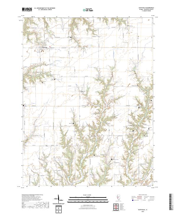
2024 Map of Scottville
USGS Topo · Published 2024About this map
The village of Scottville serves as the primary hub for this section of Macoupin County, surrounded by a rural landscape defined by deep creek valleys and a dense network of family cemeteries. The terrain is deeply incised by Joes Creek and Hicks Creek, creating a complex topography that contrasts with the geometric road grid. For genealogists, the map is remarkably dense with burial sites that trace the region's pioneer lineages, including the Panther Creek Cem and Nifong Cem in the north, and the Solomon G O Cem and A M Solomon Cem further south. The settlement at Barr anchor the southern reaches of the quadrangle, where winding routes like Sawmill Rd and Rabbit Rd follow the natural breaks in the land. This survey provides a contemporary record of long-established agricultural boundaries and the small, scattered landmarks that define rural Illinois life.
Find a feature on this map
76 named features on this map. Tap any name to fly to it.
Don’t see what you’re looking for? This feature index may not catch every label — zoom into the map to look around manually.
Map Details
Editions of this 2024 Scottville Map
This is the sole edition of this map. No revisions or reprints were ever made.
Other maps of this area

1923 · Carlinville
USGS Topo · 1:48,000

1924 · Waverly
USGS Topo · 1:62,500

1925 · Carlinville
USGS Topo · 1:62,500

1926 · Waverly
USGS Topo · 1:62,500

1931 · Carlinville
USGS Topo · 1:62,500

1932 · Greenfield
USGS Topo · 1:62,500

1932 · Jacksonville
USGS Topo · 1:62,500

1937 · Jacksonville
USGS Topo · 1:62,500

1948 · Quincy
USGS Topo · 1:250,000

1956 · Quincy
USGS Topo · 1:250,000