
1915 Map of Seaford
USGS Topo · Published 1915About this map
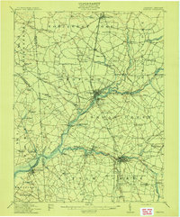
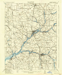
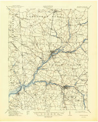
The Nanticoke River defines the landscape of this 1915 survey, serving as a primary artery for commerce and travel across Sussex County. A marked Steamboat Route tracks deep into the interior, linking the wharf at Sharptown with maritime facilities like Wheatleys Wharf and Ellis Wharf. This river-centric economy is further highlighted by the operation of Cannons Ferry at Woodland, a vital crossing point before modern bridging.
Find a feature on this map
108 named features on this map. Tap any name to fly to it.
Don’t see what you’re looking for? This feature index may not catch every label — zoom into the map to look around manually.
Map Details
Editions of this 1915 Seaford Map
4 editions found
Other maps of this area

1901 · Salisbury
USGS Topo · 1:62,500

1902 · Pittsville
USGS Topo · 1:62,500

1903 · Nanticoke
USGS Topo · 1:62,500

1905 · Denton
USGS Topo · 1:62,500

1905 · Hurlock
USGS Topo · 1:62,500

1917 · Millsboro
USGS Topo · 1:62,500

1918 · Cedar Creek
USGS Topo · 1:62,500

1918 · Harrington
USGS Topo · 1:62,500

1919 · Cedar Creek
USGS Topo · 1:62,500

1938 · Cedar Creek
USGS Topo · 1:62,500