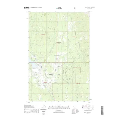
2020 Map of Seeley Lake East
USGS Topo · Published 2020About this map
Seeley Lake and the Lolo National Forest dominate this mountain landscape, where the Clearwater River serves as a primary drainage for numerous seasonal and perennial creeks. The settlement of Seeley Lake is shown with its dense residential grid, including streets like Tamarack Dr and School Ln, contrasting with the surrounding timberlands. Critical infrastructure for the region is noted at the Seeley Lake Airport, while a complex network of forest development roads, such as Rice Ridge Rd and the Auggie-Morrell Rd, provides access into the high country.
Find a feature on this map
83 named features on this map. Tap any name to fly to it.
Don’t see what you’re looking for? This feature index may not catch every label — zoom into the map to look around manually.
Map Details
Editions of this 2020 Seeley Lake East Map
This is the sole edition of this map. No revisions or reprints were ever made.
Other maps of this area

1902 · Ovando
USGS Topo · 1:125,000

1905 · Ovando
USGS Topo · 1:125,000

1921 · Elbow Lake
USGS Topo · 1:125,000

1955 · Choteau
USGS Topo · 1:250,000

1957 · Choteau
USGS Topo · 1:250,000

1958 · Choteau
USGS Topo · 1:250,000

1962 · Choteau
USGS Topo · 1:250,000
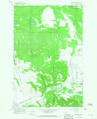
1965 · Woodworth
USGS Topo · 1:24,000

1965 · Morrell Mountain
USGS Topo · 1:24,000

1965 · Seeley Lake West
USGS Topo · 1:24,000