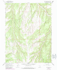
1966 Map of Seep Canyon
USGS Topo · Published 1987About this map
Sweet Water courses through the northeast corner of this high-plateau terrain in Uintah County, providing a singular named water source in an otherwise arid and deeply dissected landscape. The U.S. Geological Survey documented this region in 1966, later revising the work in 1987 to show changes in access and infrastructure. The topography is defined by a series of long, parallel ridges and canyons, where the pattern of light-duty and unimproved roads suggests a landscape shaped by resource extraction and land management rather than permanent settlement. These trails follow the contours of the drainage systems, likely serving the ranching or energy interests that characterize the Uintah Basin's history.
Find a feature on this map
1 named feature on this map. Tap any name to fly to it.
Don’t see what you’re looking for? This feature index may not catch every label — zoom into the map to look around manually.
Map Details
Editions of this 1966 Seep Canyon Map
3 editions found
Other maps of this area

1885 · East Tavaputs
USGS Topo · 1:250,000

1956 · Grand Junction
USGS Topo · 1:250,000

1959 · Grand Junction
USGS Topo · 1:250,000

1960 · Grand Junction
USGS Topo · 1:250,000

1962 · Grand Junction
USGS Topo · 1:250,000

1964 · Grand Junction
USGS Topo · 1:250,000

1965 · Grand Junction
USGS Topo · 1:250,000

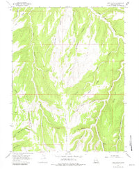
1966 · Seep Canyon
USGS Topo · 1:24,000

1966 · Bates Knolls
USGS Topo · 1:24,000

1966 · Tom Patterson Canyon
USGS Topo · 1:24,000