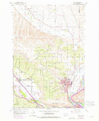
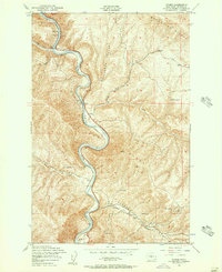
1958 Map of Selah
USGS Topo · Published 1975About this map
The Wenas Valley and Selah Valley converge in this mid-century portrait of Yakima County, showing a landscape defined by irrigation engineering and orchard development. The intricate network of the Selah Loop Canal and Cowiche Canal supports the agricultural growth of Selah and Gleed, while the Burlington Northern railroad corridor tracks the flow of goods along the Naches River. Local social life is anchored by the Wenas Valley Grange and Lower Naches Grange, reflecting a time when these agricultural organizations were central to community identity. Cultural history is explicitly marked by Petroglyphs near the Yakima River, while modern infrastructure appears at the Selah VABM 1762 Lookout Point and various radio transmission sites. The map also records early educational sites like the Lower Naches School and Yakima Valley Sch.
Find a feature on this map
99 named features on this map. Tap any name to fly to it.
Don’t see what you’re looking for? This feature index may not catch every label — zoom into the map to look around manually.
Map Details
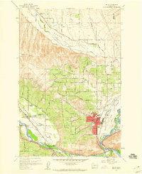
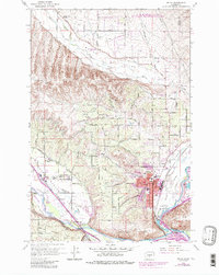
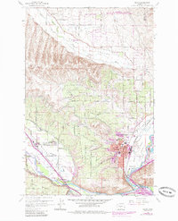
Editions of this 1958 Selah Map
4 editions found
Other maps of this area

1899 · Ellensburg
USGS Topo · 1:125,000

1901 · Ellensburg
USGS Topo · 1:125,000

1936 · Yakima East
USGS Topo · 1:48,000

1938 · Badger Pocket
USGS Topo · 1:48,000

1941 · Yakima East
USGS Topo · 1:62,500

1943 · Badger Pocket
USGS Topo · 1:62,500

1950 · Yakima
USGS Topo · 1:250,000

1953 · Pomona
USGS Topo · 1:24,000

1953 · Yakima East
USGS Topo · 1:24,000
1953 · Wymer
USGS Topo · 1:24,000