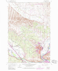
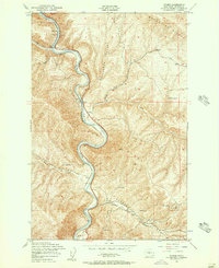
1958 Map of Selah
USGS Topo · Published 1985About this map
The Naches River and Yakima River converge near the growing fruit-growing hub of Selah in this mid-century survey with 1980s urban updates. The landscape is defined by the contrast between the irrigated valley floors of the Selah Valley and the dry elevations of Selah Heights and Yakima Ridge. A complex network of water infrastructure, including the Wenas Canal, various Siphons, and the Buckskin Slough, highlights the area's intensive agricultural development. Regional community life is anchored by landmarks such as the Lower Naches Grange and the Lower Naches School in the west, while the eastern edge is dominated by the Burlington Northern railroad corridor. Notably, the map marks Petroglyphs near the Wenas Creek canyon, indicating a deep human history preceding the homesteading era of the Wenas Valley Grange.
Find a feature on this map
77 named features on this map. Tap any name to fly to it.
Don’t see what you’re looking for? This feature index may not catch every label — zoom into the map to look around manually.
Map Details
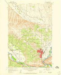
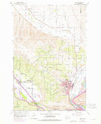
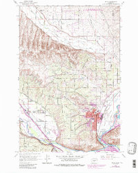
Editions of this 1958 Selah Map
4 editions found
Other maps of this area

1899 · Ellensburg
USGS Topo · 1:125,000

1901 · Ellensburg
USGS Topo · 1:125,000

1936 · Yakima East
USGS Topo · 1:48,000

1938 · Badger Pocket
USGS Topo · 1:48,000

1941 · Yakima East
USGS Topo · 1:62,500

1943 · Badger Pocket
USGS Topo · 1:62,500

1950 · Yakima
USGS Topo · 1:250,000

1953 · Pomona
USGS Topo · 1:24,000

1953 · Yakima East
USGS Topo · 1:24,000
1953 · Wymer
USGS Topo · 1:24,000