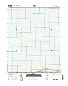
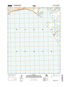
2016 Map of Selawik B-3 NW
USGS Topo · Published 2016About this map
Selawik Lake dominates this Arctic landscape, representing the vast, low-lying coastal hydrology of the Northwest Arctic. This 2016 survey illustrates a largely aquatic and marshy environment where the distinction between land and water is often defined by shifting contours. The map reflects the rigorous Public Land Survey System grid of the American North, marking the boundaries of T11n R8w, T11n R9w, and T13n R7w. These township and range designations serve as the primary human imposition on an otherwise undeveloped wilderness, providing the essential legal framework for land management and navigation in this remote corner of Alaska. The sparse labeling underscores the area's isolation, focusing strictly on the immense scale of the lake and the systematic division of the surrounding territory.
Find a feature on this map
15 named features on this map. Tap any name to fly to it.
Don’t see what you’re looking for? This feature index may not catch every label — zoom into the map to look around manually.
Map Details
Editions of this 2016 Selawik B-3 NW Map
This is the sole edition of this map. No revisions or reprints were ever made.
Other maps of this area

1951 · Selawik
USGS Topo · 1:250,000

1955 · Selawik B-3
USGS Topo · 1:63,360

1955 · Selawik C-3
USGS Topo · 1:63,360

1955 · Selawik B-4
USGS Topo · 1:63,360

1955 · Selawik C-4
USGS Topo · 1:63,360

1957 · Selawik
USGS Topo · 1:250,000
2014 · Selawik B-4 SE
USGS Topo · 1:25,000
2014 · Selawik B-3 SW
USGS Topo · 1:25,000
2015 · Selawik B-3 SE
USGS Topo · 1:25,000
2016 · Selawik C-3 SW
USGS Topo · 1:25,000