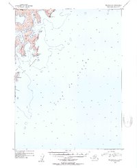
1953 Map of Seldovia B-1
USGS Topo · Published 1954About this map
The Pye Islands dominate this coastal survey of the Kenai Peninsula's southern edge, where the land meets the open Gulf of Alaska. Compiled from 1951 aerial photography, the map reveals a complex maritime landscape defined by deep-water inlets and steep topography. Key navigational points like Mc Arthur Pass and Wildcat Pass separate the larger masses of Ragged Island and Rabbit Island from the mainland, highlighting a rugged coastline used primarily for maritime transit and shelter.
Find a feature on this map
15 named features on this map. Tap any name to fly to it.
Don’t see what you’re looking for? This feature index may not catch every label — zoom into the map to look around manually.
Map Details
Editions of this 1953 Seldovia B-1 Map
4 editions found
Other maps of this area

1946 · Blying Sound
USGS Topo · 1:250,000

1951 · Blying Sound
USGS Topo · 1:250,000

1951 · Seldovia
USGS Topo · 1:250,000
1951 · Blying Sound C-8
USGS Topo · 1:63,360

1951 · Seldovia B-2
USGS Topo · 1:63,360
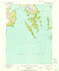
1952 · Blying Sound C-8
USGS Topo · 1:63,360
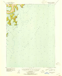
1953 · Seldovia B-1
USGS Topo · 1:63,360

1953 · Seldovia B-2
USGS Topo · 1:63,360

1953 · Seldovia C-2
USGS Topo · 1:63,360
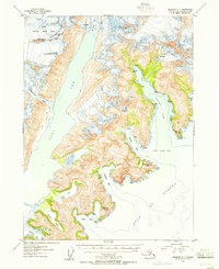
1953 · Seldovia C-1
USGS Topo · 1:63,360