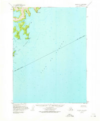
1953 Map of Seldovia B-1
USGS Topo · Published 1973About this map
Pye Islands form a complex archipelago along the coast of the Kenai Peninsula Borough in this 1950s maritime survey. The terrain is characterized by deeply recessed inlets and protected waters such as Moonlight Bay and Chance Lagoon. The coastal profile is jagged, defined by prominent landmarks like Hoof Point and Steep Point which served as essential reference markers for maritime navigation in the Gulf of Alaska.
Find a feature on this map
16 named features on this map. Tap any name to fly to it.
Don’t see what you’re looking for? This feature index may not catch every label — zoom into the map to look around manually.
Map Details
Editions of this 1953 Seldovia B-1 Map
4 editions found
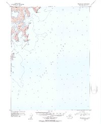
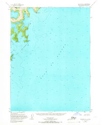
Other maps of this area

1946 · Blying Sound
USGS Topo · 1:250,000

1951 · Blying Sound
USGS Topo · 1:250,000

1951 · Seldovia
USGS Topo · 1:250,000
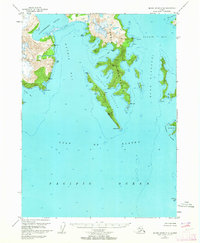
1951 · Blying Sound C-8
USGS Topo · 1:63,360

1951 · Seldovia B-2
USGS Topo · 1:63,360
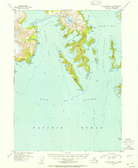
1952 · Blying Sound C-8
USGS Topo · 1:63,360
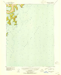
1953 · Seldovia B-1
USGS Topo · 1:63,360

1953 · Seldovia B-2
USGS Topo · 1:63,360

1953 · Seldovia C-2
USGS Topo · 1:63,360
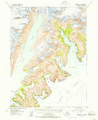
1953 · Seldovia C-1
USGS Topo · 1:63,360