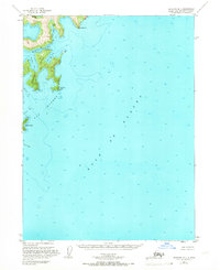
1953 Map of Seldovia B-1
USGS Topo · Published 1966About this map
Pye Islands and the coastal inlets of the Kenai Peninsula define this mid-century hydrographic study, where deep glacial coves meet the open Gulf of Alaska. The topography, derived from 1951 aerial photography, reveals a complex shoreline of sheltered waters like Moonlight Bay and Chance Lagoon. Navigation and maritime history are central to this area, as seen in the charting of Mc Arthur Pass and the surrounding soundings. These narrow passages and rocky outcroppings like Hoof Point and Steep Point shaped the travel and fishing patterns of the region before modern developments. The map provides a precise record of the shoreline and maritime hazards of the early 1950s, documenting the natural geography of Rabbit Island and the various coves that served as vital refuges for coastal vessels.
Find a feature on this map
14 named features on this map. Tap any name to fly to it.
Don’t see what you’re looking for? This feature index may not catch every label — zoom into the map to look around manually.
Map Details
Editions of this 1953 Seldovia B-1 Map
4 editions found
Other maps of this area

1946 · Blying Sound
USGS Topo · 1:250,000

1951 · Blying Sound
USGS Topo · 1:250,000

1951 · Seldovia
USGS Topo · 1:250,000
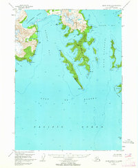
1951 · Blying Sound C-8
USGS Topo · 1:63,360

1951 · Seldovia B-2
USGS Topo · 1:63,360
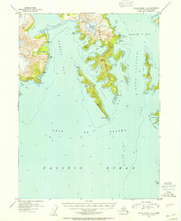
1952 · Blying Sound C-8
USGS Topo · 1:63,360
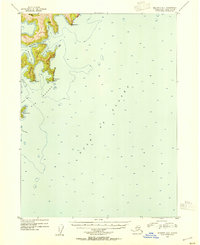
1953 · Seldovia B-1
USGS Topo · 1:63,360

1953 · Seldovia B-2
USGS Topo · 1:63,360

1953 · Seldovia C-2
USGS Topo · 1:63,360
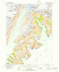
1953 · Seldovia C-1
USGS Topo · 1:63,360