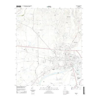
2014 Map of Selma
USGS Topo · Published 2014About this map
The Alabama River carves a deep arc around the southern edge of Selma, defining the city's historic orientation toward the water. Central to this landscape is the Edmund Pettus Bridge, which connects the main city grid to the southern suburbs of Selmont and Selmont-West Selmont. The map reveals a high concentration of institutional landmarks, including Selma University and Concordia College-Selma, alongside extensive burial grounds like New Live Oak Cemetery and Oak Cemetery.
Find a feature on this map
166 named features on this map. Tap any name to fly to it.
Don’t see what you’re looking for? This feature index may not catch every label — zoom into the map to look around manually.
Map Details
Editions of this 2014 Selma Map
This is the sole edition of this map. No revisions or reprints were ever made.
Other maps of this area

1891 · Clanton
USGS Topo · 1:125,000

1953 · Montgomery
USGS Topo · 1:250,000

1956 · Montgomery
USGS Topo · 1:250,000

1957 · Montgomery
USGS Topo · 1:250,000

1957 · Benton
USGS Topo · 1:62,500

1958 · Selma
USGS Topo · 1:62,500

1958 · Selma
USGS Topo · 1:24,000

1959 · Plantersville
USGS Topo · 1:62,500

1959 · Summerfield
USGS Topo · 1:62,500

1975 · Selma NW
USGS Topo · 1:24,000