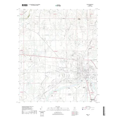
2018 Map of Selma
USGS Topo · Published 2018About this map
The Alabama River carves a deep arc through this portion of Dallas County, where the city of Selma serves as the central hub. This modern survey illustrates the urban layout and educational landscape, including Selma University and Concordia College, alongside the George C. Wallace State Community College. The river's influence on the local geography is evident in named sandbars and bends such as Valley Creek Bar, Tight Eye Bar, and Kings Bend.
Find a feature on this map
199 named features on this map. Tap any name to fly to it.
Don’t see what you’re looking for? This feature index may not catch every label — zoom into the map to look around manually.
Map Details
Editions of this 2018 Selma Map
This is the sole edition of this map. No revisions or reprints were ever made.
Other maps of this area

1891 · Clanton
USGS Topo · 1:125,000

1953 · Montgomery
USGS Topo · 1:250,000

1956 · Montgomery
USGS Topo · 1:250,000

1957 · Montgomery
USGS Topo · 1:250,000

1957 · Benton
USGS Topo · 1:62,500

1958 · Selma
USGS Topo · 1:62,500

1958 · Selma
USGS Topo · 1:24,000

1959 · Plantersville
USGS Topo · 1:62,500

1959 · Summerfield
USGS Topo · 1:62,500

1975 · Selma NW
USGS Topo · 1:24,000