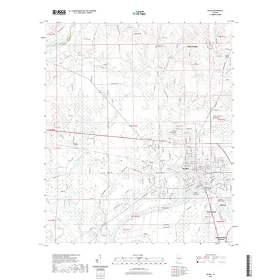
2020 Map of Selma
USGS Topo · Published 2020About this map
The Alabama River anchors this 2020 survey of Dallas County, where the historic Selma city center meets the river's northern banks. The famous Edmund Pettus Bridge spans the water, connecting the city to the Selmont and West Selmont areas. This modern record details a landscape shaped by education and civic history, from Selma University and George Corley Wallace State Community College Selma to the Dallas County Courthouse.
Find a feature on this map
212 named features on this map. Tap any name to fly to it.
Don’t see what you’re looking for? This feature index may not catch every label — zoom into the map to look around manually.
Map Details
Editions of this 2020 Selma Map
This is the sole edition of this map. No revisions or reprints were ever made.
Other maps of this area

1891 · Clanton
USGS Topo · 1:125,000

1953 · Montgomery
USGS Topo · 1:250,000

1956 · Montgomery
USGS Topo · 1:250,000

1957 · Montgomery
USGS Topo · 1:250,000

1957 · Benton
USGS Topo · 1:62,500

1958 · Selma
USGS Topo · 1:62,500

1958 · Selma
USGS Topo · 1:24,000

1959 · Plantersville
USGS Topo · 1:62,500

1959 · Summerfield
USGS Topo · 1:62,500

1975 · Selma NW
USGS Topo · 1:24,000