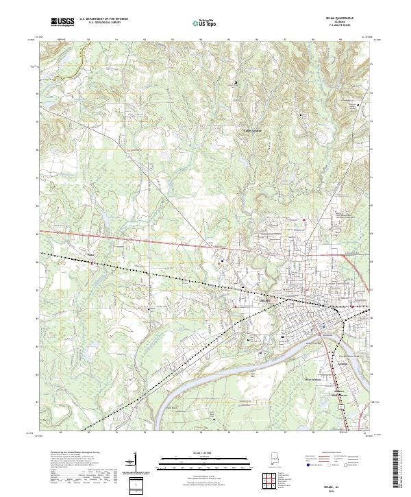
2024 Map of Selma
USGS Topo · Published 2024About this map
The Alabama River anchors the southern reaches of this landscape, where the Dallas County Courthouse stands as the historic heart of Selma. This 2024 survey illustrates the modern footprint of the city alongside its long-standing educational institutions, including Selma University and George Corley Wallace State Community College Selma. The geography is defined by a dense network of local cemeteries like Lincoln Cem and Valley Creek Cem, which provide essential touchpoints for genealogical research in this Black Belt region.
Find a feature on this map
93 named features on this map. Tap any name to fly to it.
Don’t see what you’re looking for? This feature index may not catch every label — zoom into the map to look around manually.
Map Details
Editions of this 2024 Selma Map
This is the sole edition of this map. No revisions or reprints were ever made.
Other maps of this area

1891 · Clanton
USGS Topo · 1:125,000

1953 · Montgomery
USGS Topo · 1:250,000

1956 · Montgomery
USGS Topo · 1:250,000

1957 · Montgomery
USGS Topo · 1:250,000

1957 · Benton
USGS Topo · 1:62,500

1958 · Selma
USGS Topo · 1:62,500

1958 · Selma
USGS Topo · 1:24,000

1959 · Plantersville
USGS Topo · 1:62,500

1959 · Summerfield
USGS Topo · 1:62,500

1975 · Selma NW
USGS Topo · 1:24,000