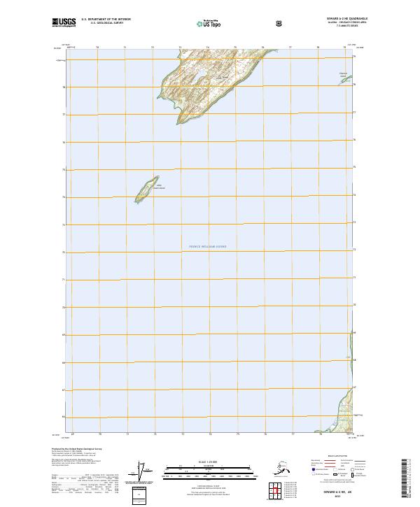
2023 Map of Seward A-2 NE
USGS Topo · Published 2023About this map
Chugach National Forest encompasses the remote islands and waters shown in this modern topographic survey, centered on the isolated landmasses within Prince William Sound. The geography is defined by Green Island, the largest feature on the sheet, which is accompanied to the south by Little Green Island. These islands, along with the smaller Channel Island to the northeast, represent a maritime landscape largely untouched by infrastructure. The map illustrates the topographic contours and shoreline of these remote Alaskan outposts, providing a precise record of the land-sea interface in this protected coastal region. The absence of roads or settlements emphasizes the wilderness character of the Chugach National Forest lands in the early twenty-first century.
Find a feature on this map
12 named features on this map. Tap any name to fly to it.
Don’t see what you’re looking for? This feature index may not catch every label — zoom into the map to look around manually.
Map Details
Editions of this 2023 Seward A-2 NE Map
This is the sole edition of this map. No revisions or reprints were ever made.
Other maps of this area

1951 · Seward
USGS Topo · 1:250,000

1951 · Seward B-1
USGS Topo · 1:63,360

1951 · Seward A-2
USGS Topo · 1:63,360

1951 · Seward A-1
USGS Topo · 1:63,360

1951 · Seward B-2
USGS Topo · 1:63,360

1952 · Seward B-1
USGS Topo · 1:63,360

1952 · Seward B-2
USGS Topo · 1:63,360

1953 · Seward A-2
USGS Topo · 1:63,360

1953 · Seward A-1
USGS Topo · 1:63,360

1953 · Seward
USGS Topo · 1:250,000