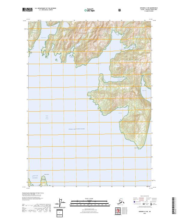
2023 Map of Seward A-3 NE
USGS Topo · Published 2023About this map
Knight Island dominates this coastal survey, where its complex shoreline is punctuated by deep inlets and protected anchorages. The interior of the island rises to distinctive peaks such as Horn Mtn, while small freshwater bodies like Sandra Lake sit perched above the saltwater arms. This rugged maritime landscape is part of the Chugach National Forest, reflecting the managed wilderness character of the region.
Find a feature on this map
26 named features on this map. Tap any name to fly to it.
Don’t see what you’re looking for? This feature index may not catch every label — zoom into the map to look around manually.
Map Details
Editions of this 2023 Seward A-3 NE Map
This is the sole edition of this map. No revisions or reprints were ever made.
Other maps of this area

1950 · Seward B-3
USGS Topo · 1:63,360

1951 · Seward
USGS Topo · 1:250,000

1951 · Seward A-2
USGS Topo · 1:63,360

1951 · Seward A-3
USGS Topo · 1:63,360

1951 · Seward B-2
USGS Topo · 1:63,360

1952 · Seward A-3
USGS Topo · 1:63,360

1952 · Seward B-3
USGS Topo · 1:63,360

1952 · Seward B-2
USGS Topo · 1:63,360

1953 · Seward A-2
USGS Topo · 1:63,360

1953 · Seward
USGS Topo · 1:250,000