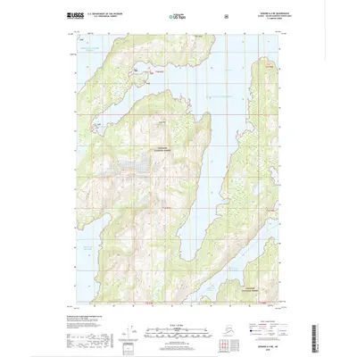
2018 Map of Seward A-4 NE
USGS Topo · Published 2018About this map
Chugach National Forest encompasses the entirety of this coastal landscape, where steep maritime peaks meet the intricate shoreline of the Prince William Sound. The terrain is defined by dramatic elevation changes rising from the Gulf of Alaska to prominent summits like Claw Peak and Dual Head. Waterways dominate the geography, featuring deep inlets such as Whale Bay and Humpback Cove that carve into the landmass. This 2018 survey documents a remote wilderness environment largely devoid of human infrastructure, focusing instead on the natural coastal hydrology of Bainbridge Passage and minor drainage systems like Frenchy Cr. The map illustrates the complex interplay of tidal inlets and glacial-carved topography, including smaller features like Eleshanski Cove along the eastern shoreline.
Find a feature on this map
17 named features on this map. Tap any name to fly to it.
Don’t see what you’re looking for? This feature index may not catch every label — zoom into the map to look around manually.
Map Details
Editions of this 2018 Seward A-4 NE Map
This is the sole edition of this map. No revisions or reprints were ever made.
Other maps of this area

1950 · Seward B-3
USGS Topo · 1:63,360

1951 · Seward
USGS Topo · 1:250,000

1951 · Seward B-4
USGS Topo · 1:63,360

1951 · Seward A-3
USGS Topo · 1:63,360

1951 · Seward A-4
USGS Topo · 1:63,360

1952 · Seward B-4
USGS Topo · 1:63,360

1952 · Seward A-3
USGS Topo · 1:63,360

1952 · Seward B-3
USGS Topo · 1:63,360

1952 · Seward A-4
USGS Topo · 1:63,360

1953 · Seward
USGS Topo · 1:250,000