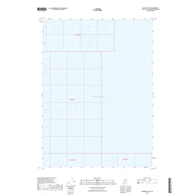
2018 Map of Seward B-1 NW
USGS Topo · Published 2018About this map
Prince William Sound dominates this portion of the Alaska coastline, where the waters of the Gulf of Alaska reach into the southern reaches of the Chugach National Forest region. This 2018 survey serves as a fundamental grid of the Public Land Survey System, illustrating the township and range divisions within t5n r12e, t4n r12e, t3n r12e, and t3n r13e. Unlike many coastal maps that depict dense infrastructure, this sheet emphasizes the maritime expanse and the administrative structure of the Unorganized Borough. It provides a precise record of the shoreline and section boundaries as they existed in the early 21st century, offering a clear view of the undeveloped coastal geography in this remote maritime environment.
Find a feature on this map
5 named features on this map. Tap any name to fly to it.
Don’t see what you’re looking for? This feature index may not catch every label — zoom into the map to look around manually.
Map Details
Editions of this 2018 Seward B-1 NW Map
This is the sole edition of this map. No revisions or reprints were ever made.
Other maps of this area

1951 · Seward
USGS Topo · 1:250,000

1951 · Seward B-1
USGS Topo · 1:63,360

1951 · Seward B-2
USGS Topo · 1:63,360

1951 · Seward C-1
USGS Topo · 1:63,360

1951 · Seward C-2
USGS Topo · 1:63,360

1952 · Seward C-1
USGS Topo · 1:63,360

1952 · Seward B-1
USGS Topo · 1:63,360

1952 · Seward B-2
USGS Topo · 1:63,360

1952 · Seward C-2
USGS Topo · 1:63,360

1953 · Seward
USGS Topo · 1:250,000