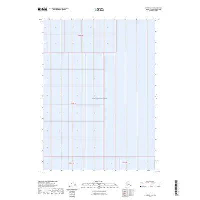
2023 Map of Seward B-1 NW
USGS Topo · Published 2023About this map
Prince William Sound dominates this coastal Alaska landscape, which is largely defined by the expansive water of the sound and its underlying maritime boundaries. The map focuses on the marine environment and the systematic grid of the Public Land Survey System, as indicated by the township and range designations such as t4n r12e and t5n r12e. This 2023 edition reflects contemporary administrative divisions within the Chugach Census Area, where land and sea are organized into precise sections for management and navigation. While the terrain is dominated by water, the presence of these legal boundaries highlights the intersection of modern surveying and the wilderness of the Alaskan coast.
Find a feature on this map
5 named features on this map. Tap any name to fly to it.
Don’t see what you’re looking for? This feature index may not catch every label — zoom into the map to look around manually.
Map Details
Editions of this 2023 Seward B-1 NW Map
This is the sole edition of this map. No revisions or reprints were ever made.
Other maps of this area

1951 · Seward
USGS Topo · 1:250,000

1951 · Seward B-1
USGS Topo · 1:63,360

1951 · Seward B-2
USGS Topo · 1:63,360

1951 · Seward C-1
USGS Topo · 1:63,360

1951 · Seward C-2
USGS Topo · 1:63,360

1952 · Seward C-1
USGS Topo · 1:63,360

1952 · Seward B-1
USGS Topo · 1:63,360

1952 · Seward B-2
USGS Topo · 1:63,360

1952 · Seward C-2
USGS Topo · 1:63,360

1953 · Seward
USGS Topo · 1:250,000